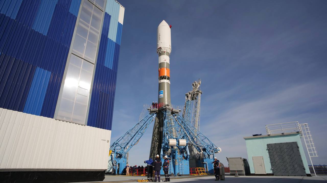
The Russian Resurs-DK 1 (46KS) satellite is mainly designed to image and transmit data on information for Earth natural resources study, data on ecology and emergency, sea surface status, ice situation, meteorological conditions in Earth polar regions, as well as to support digital data exchange between ground users. The satellite is continuously oriented towards the Earth in order to fulfill this program of Earth surface observation. The spacecraft was built by TsSKB Progress in Samara. It is based on the military Yantar-4KS1M (Neman) imaging satellite. The main sensor of the spacecraft is the Geoton-L1 optoelectronic push-broom imager. Panchromatic resolution at an altitude of 360 km is 0.9 m, at an altitude of 604 km it is 1.5 m. Multispectral resolution is between 1.5 and 2 m.
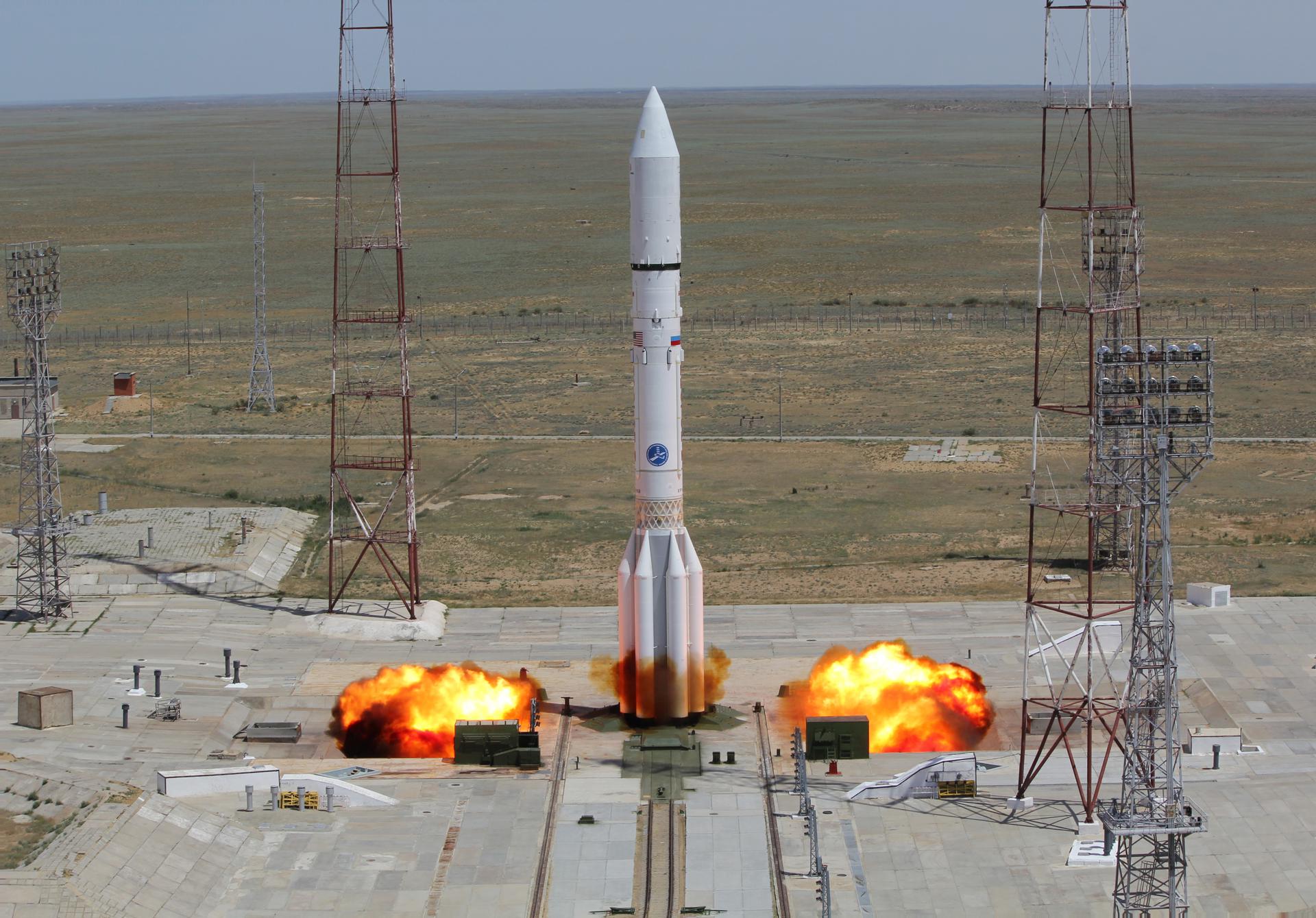
Low Earth OrbitSatmex-6 is a geostationary communication satellite used to provide communication to the Americas, Hawaii and the Caribbean. Thaicom 5 is operated by Thaicom and provides communications to Asia, Africa, Europe and Autstralia for a geostationary orbit.
Geostationary Transfer OrbitThe COMPASS-2 or DragSail-Cubesat cubesat project is conducted at the Fachhochschule Aachen for educational purposes and technology demonstration. COMPASS-2 is an universal experimental satellite bus, providing the subsystems for the payloads such as electric power, data storage and handling, attitude control and communication. The center 1U module contains the satellite's avionics, while the two outer 1U payload boxes offer companies and universities an easy way to test and validate their experiments in space.
Low Earth OrbitIn January 1998, Boeing Satellite Systems, Inc.(BSS), of El Segundo, Calif., was awarded a contract from NASA's Goddard Space Flight Center in Greenbelt, Md. The contract includes the design, manufacture, integration and launch of two Geostationary Operational Environmental Satellites, GOES N and GOES O, with options for GOES P and GOES Q. The GOES program is funded and operated by the National Oceanic and Atmospheric Administration (NOAA).
Geostationary OrbitCloudSat is a satellite which uses millimeter-wavelength radar to measure the altitude and properties of clouds. Advanced cloud-profiling radar gathers information on the vertical structure of highly dynamic cloud systems. This new information provides the first global measurements of cloud properties that will help scientists compile a database of cloud measurements to improve how clouds are represented in global climate and numerical weather prediction models.
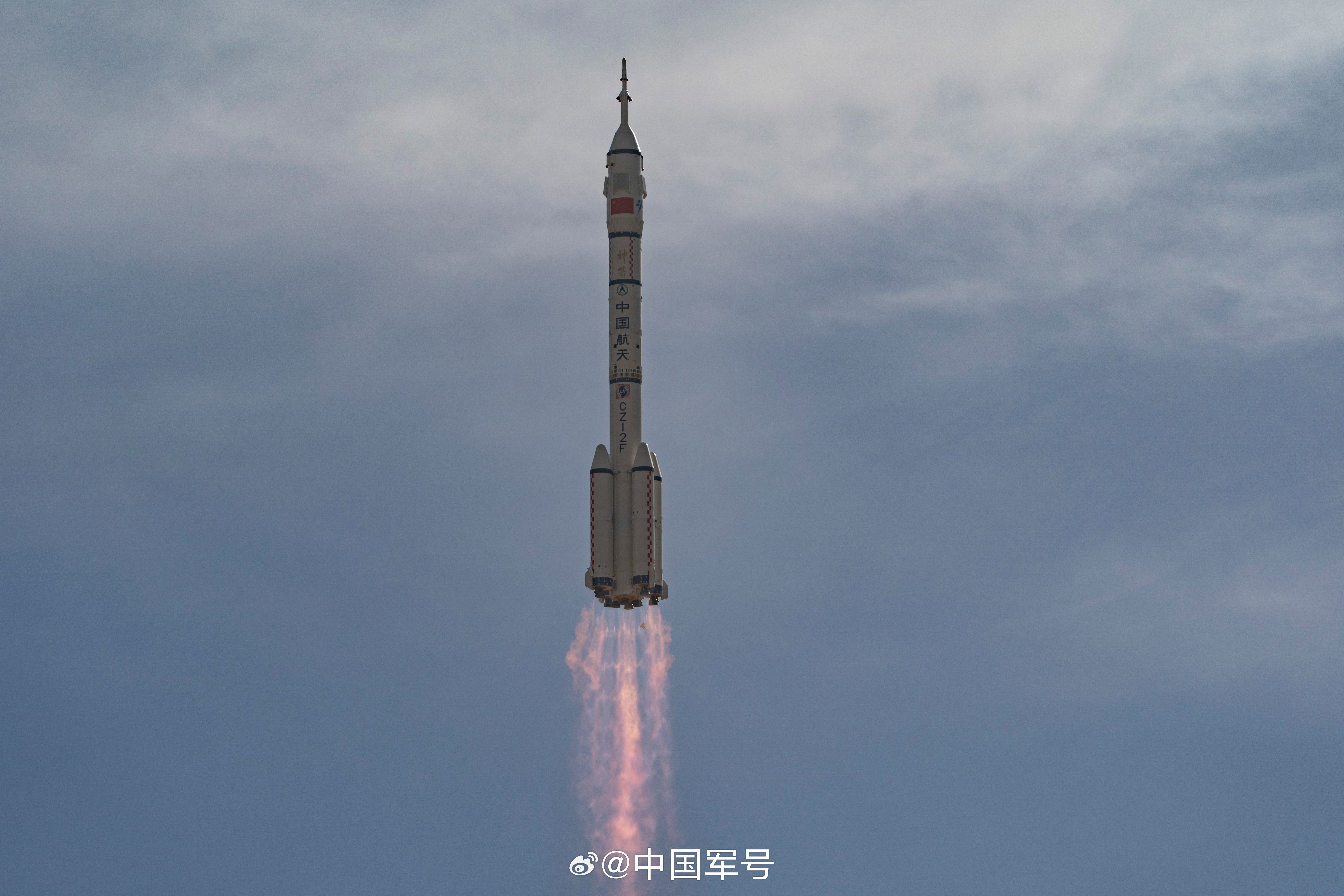
Medium Earth OrbitThe Yaogan 1 (Remote Sensing Satellite-1) government remote sensing satellite, likely also used as a military reconnaissance satellite, was launched by CZ-4C rocket from China's Taiyuan space center on 26 April 2006. It is China's first space-based synthetic aperture radar (SAR) system. The military designation of the satellite is Jian Bing-5 (JB-5). The whole development project was funded by the PLA.
Sun-Synchronous OrbitIn order to address market demand for faster revisit of EROS (Earth Resources Observation Systems B) satellites, ImageSat has purchased the EROS B satellite, which is scheduled for launch during the first quarter of 2006. Similar in appearance to EROS A, the new satellite has superior capabilities, including a larger camera of CCD/TDI type (Charge Coupled Device/Time Delay Integration), with standard panchromatic resolution of 0.70 m at an altitude of about 500 km, a larger on-board recorder, improved pointing accuracy and a faster data communication link.
Low Earth OrbitSES ASTRA ordered two new Astra satellite in June 2003. The satellites, designated Astra 1KR and Astra 1L will provide distribution of direct-to-home broadcast services across Europe following their scheduled launches in the second half of 2005 and 2006 respectively. Astra 1KR, an all Ku-band spacecraft with 32 active transponders, will be located at 19.2 degrees East longitude. Both spacecraft will be based on the award winning A2100AXS platform, manufactured by Lockheed Martin Commercial Space Systems, Newtown, Pa., and each will have a minimum service life of 15 years.
Geostationary Orbit