Previous Spaceflight Launches
Filter by Agency, Locations or Vehicles
Show All Launches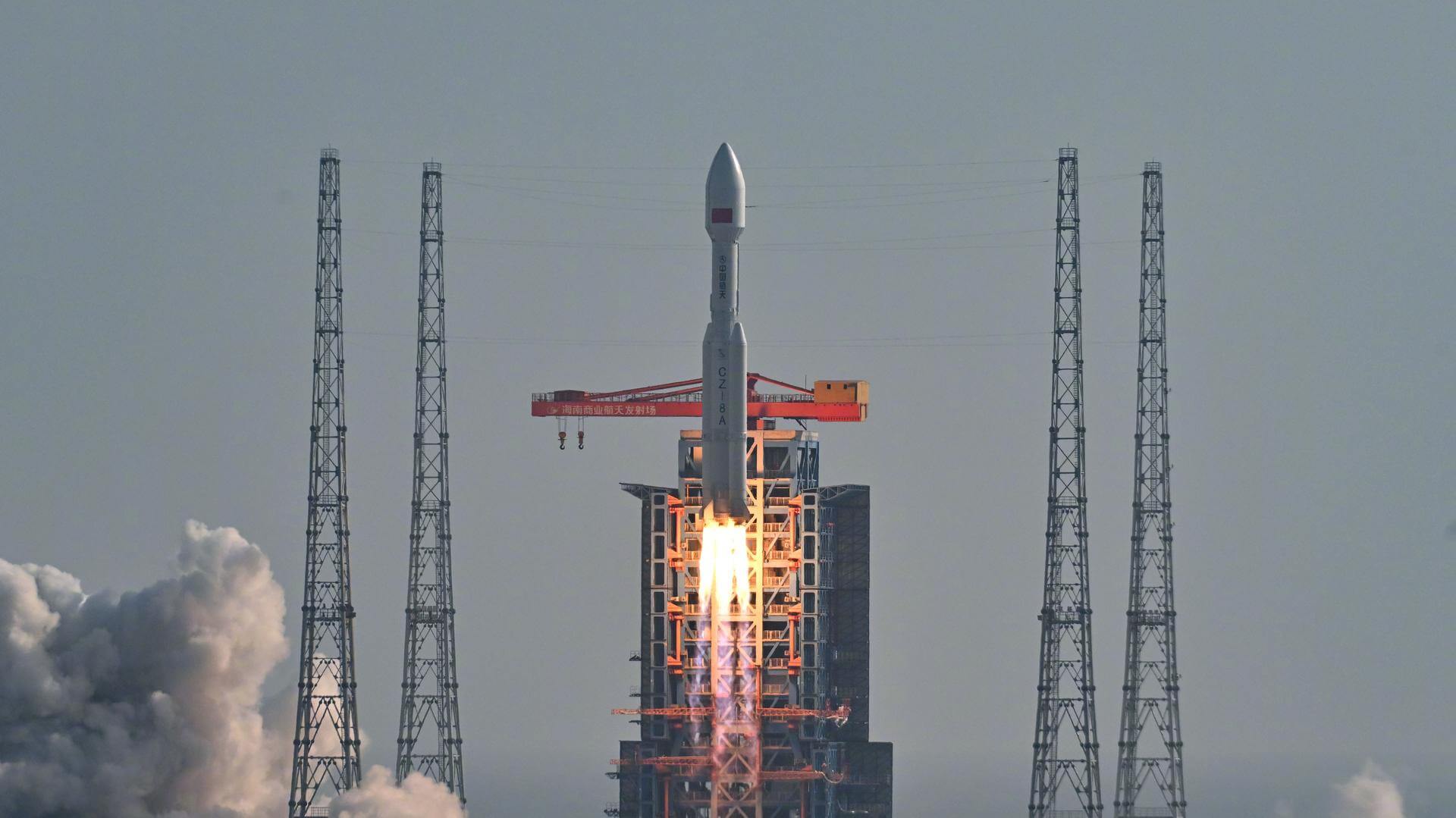
Long March 8A | SpaceSail Polar Group #14
China Aerospace Science and Technology Corporation | ChinaWenchang Space Launch Site, People's Republic of China
July 5, 2026, 1:43 p.m.
Status: Launch Successful
Mission:
20 Low Earth Orbit communication satellites with Ku, Q and V band payloads for the G60 constellation operated by Shanghai Spacesail Technologies with funding backed by the Shanghai local government. Initial constellation will consist of 1296 satellites by 2027 with long term plans to expand it to 12000 satellites.
Polar Orbit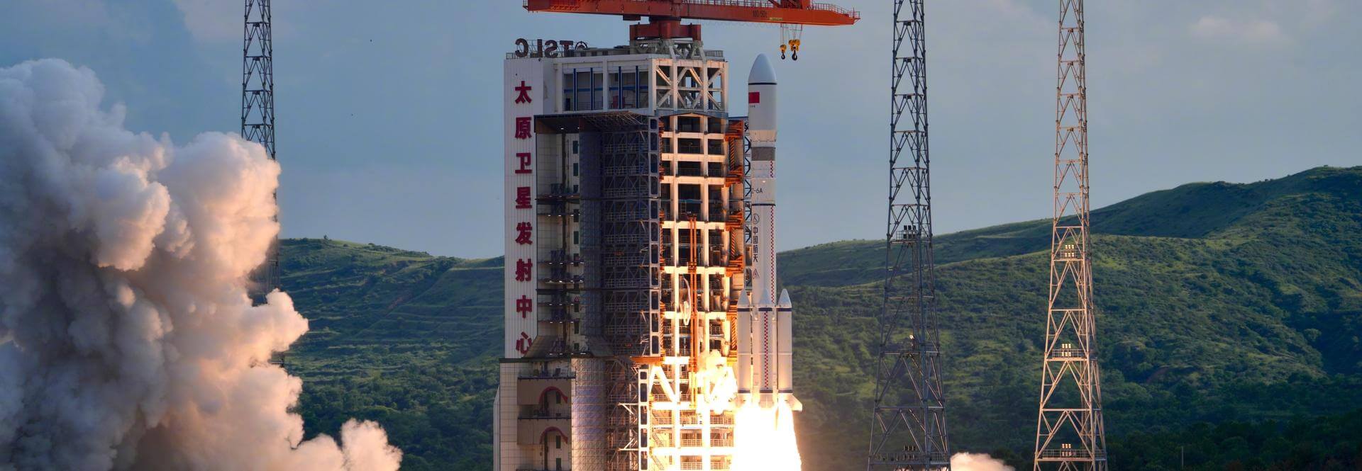
Long March 6A | SpaceSail Polar Group #13
China Aerospace Science and Technology Corporation | ChinaTaiyuan Satellite Launch Center, People's Republic of China
July 4, 2026, 9:30 a.m.
Status: Launch Successful
Mission:
18 Low Earth Orbit communication satellites with Ku, Q and V band payloads for the G60 constellation operated by Shanghai Spacesail Technologies with funding backed by the Shanghai local government. Initial constellation will consist of 1296 satellites by 2027 with long term plans to expand it to 12000 satellites.
Polar Orbit
Long March 4B | Haiyang 2E
China Aerospace Science and Technology Corporation | ChinaJiuquan Satellite Launch Center, People's Republic of China
July 1, 2026, 11:46 p.m.
Status: Launch Successful
Mission:
Haiyang 2E (Chinese: "Ocean"), abbreviated HY-2E, is a marine remote sensing satellite of China. The HY-2 series' primary objective is to measure ocean dynamic and regional environmental trends in the microwave spectral range, plus measurements of parameters such as marine wind vector, marine surface heat and Sea Surface Temperature (SST). These ocean dynamics real-time data aid aero-marine forecasts for the prevention of, and relief in the event of, natural disasters. Instruments carried include: * Microwave Radiometer Imager (MWRI) * Radar Altimeter (RA) * Ku-band Rotational Fan-beam Scatterometer (SCAT)
Sun-Synchronous Orbit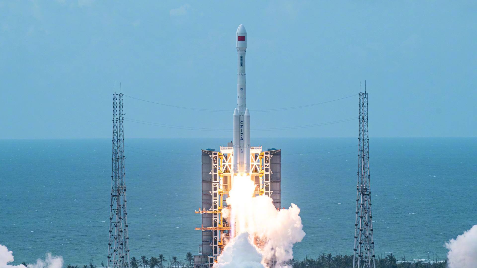
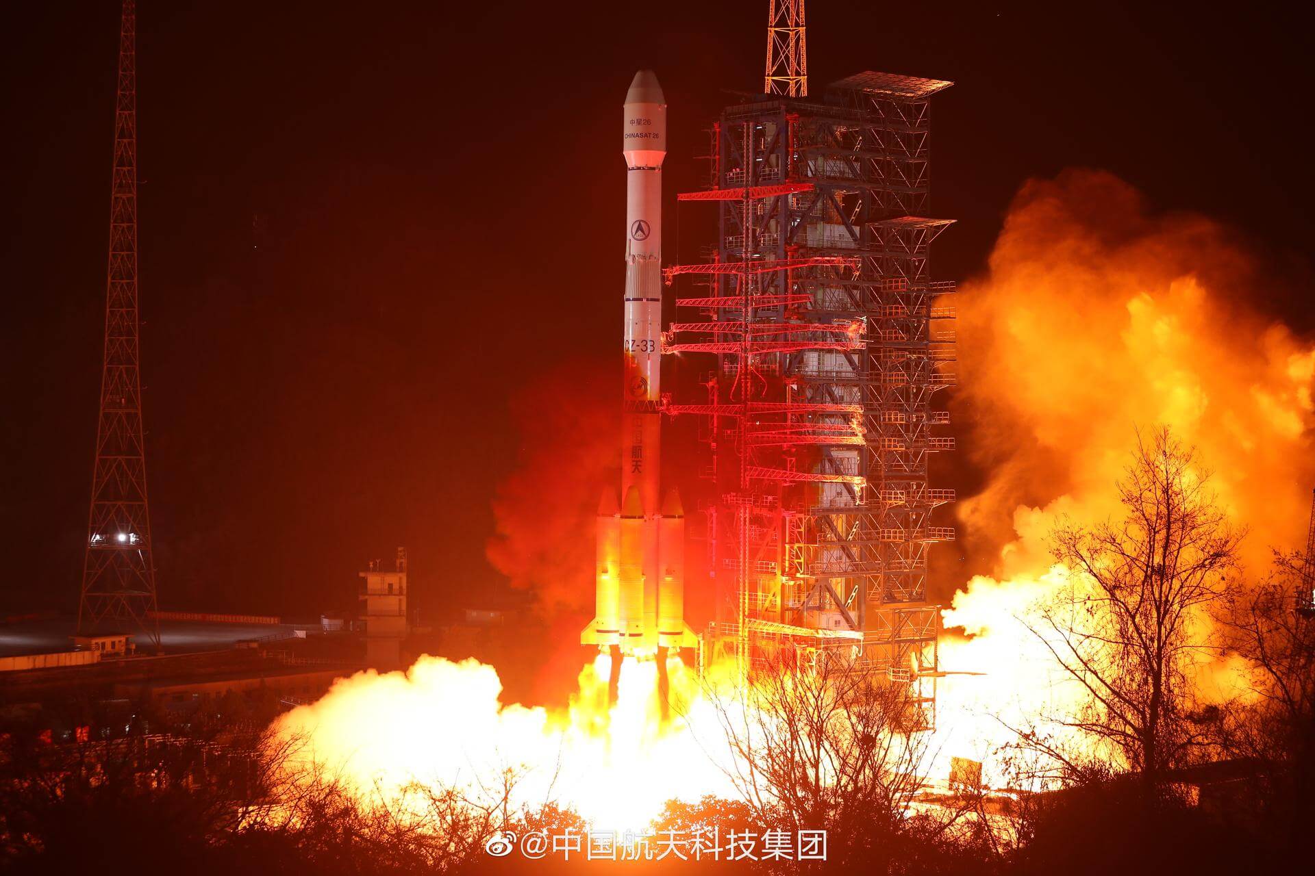
Long March 7A | TJSW-26A
China Aerospace Science and Technology Corporation | ChinaWenchang Space Launch Site, People's Republic of China
June 23, 2026, 2:10 a.m.
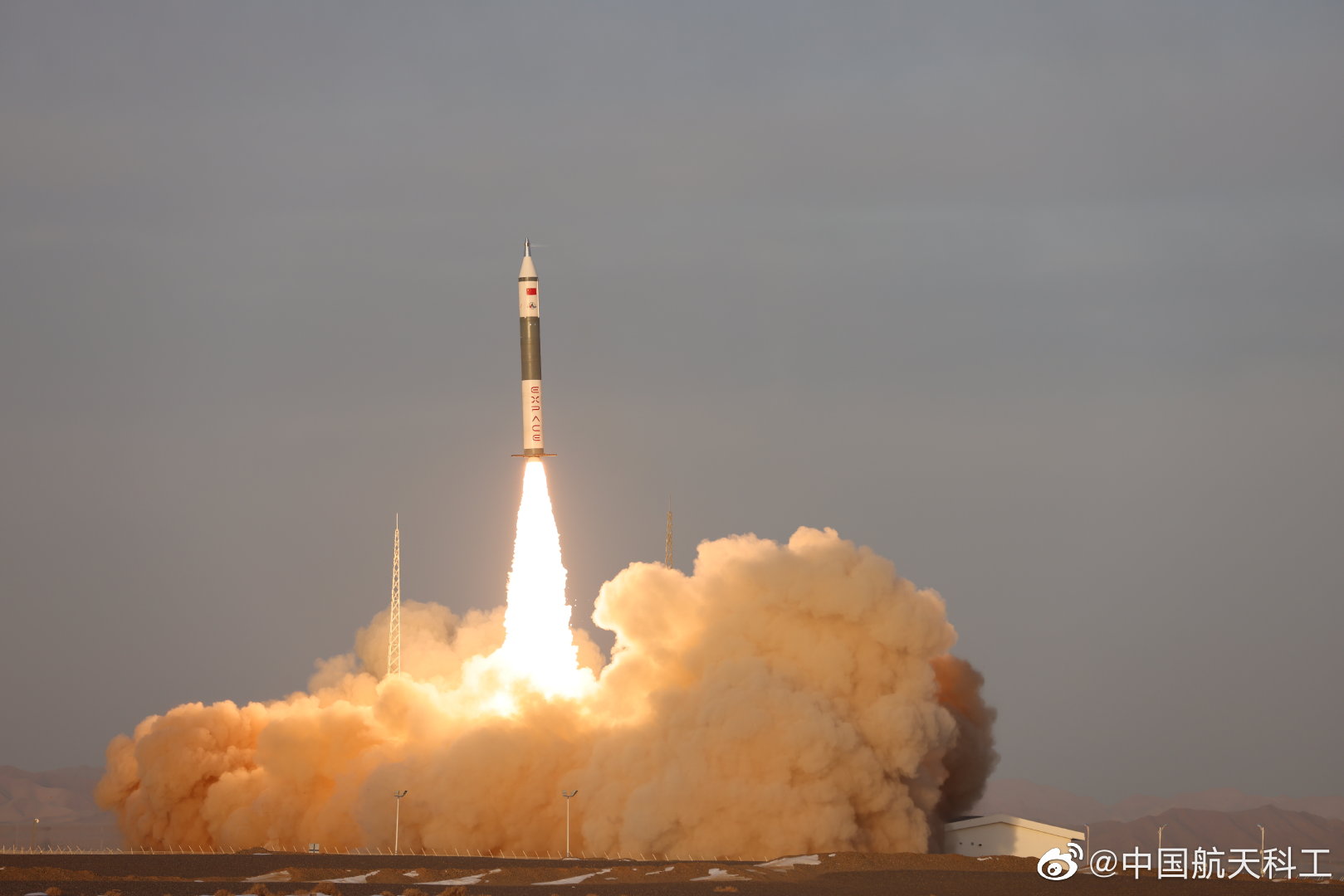
Kuaizhou 11 | CentiSpace-1 Group 05
ExPace | ChinaJiuquan Satellite Launch Center, People's Republic of China
June 17, 2026, 3:58 a.m.
Status: Launch Successful
Mission:
Note: Unofficial reports indicate there may be 1 or more additional satellites that failed to separate from the upper stage, however this is not officially confirmed. Chinese commercial small satellites by Beijing-based company Future Navigation for providing GNSS augmentation signals services from LEO. They are part of a planned 160 satellites constellation.
Low Earth Orbit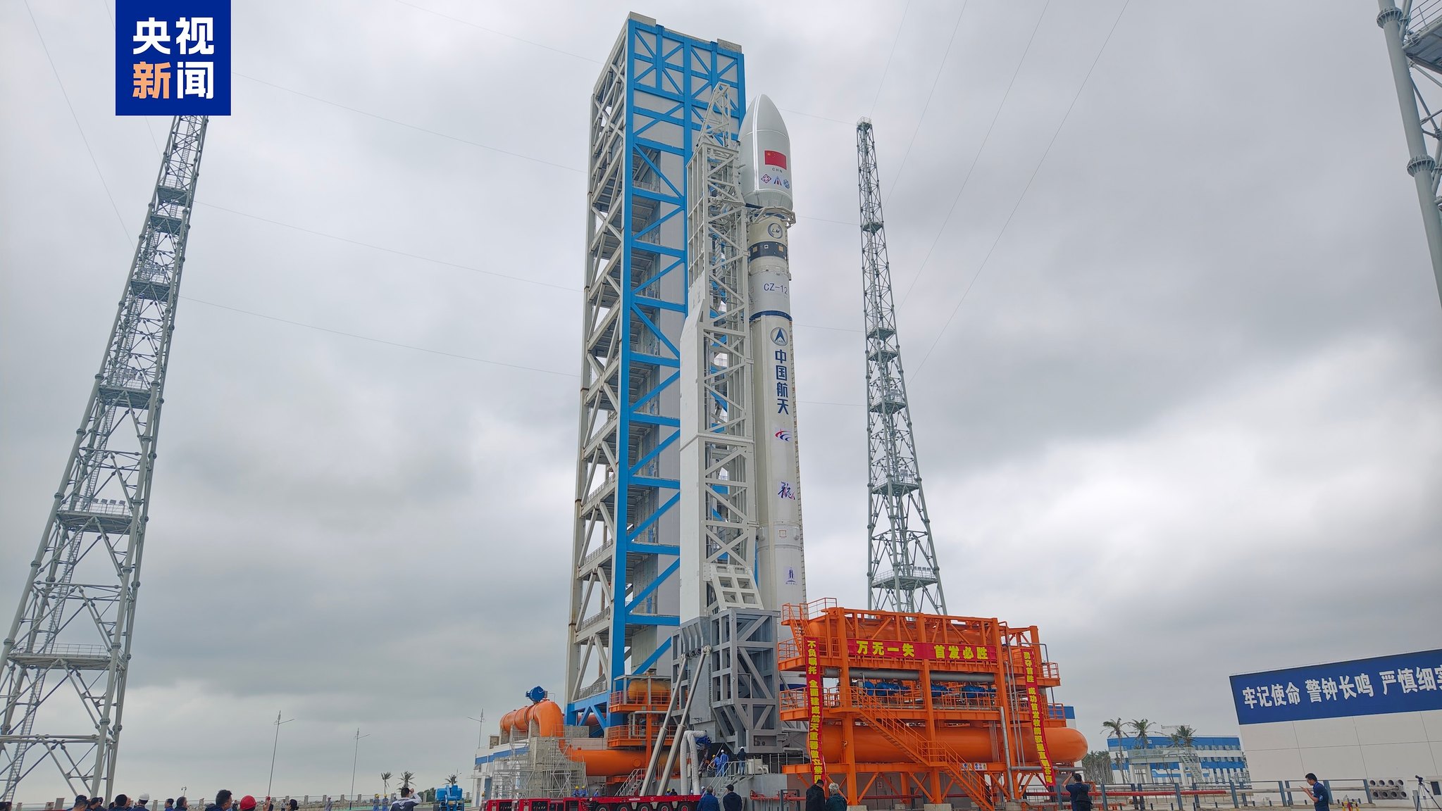
Long March 12 | SatNet LEO Group 22
China Aerospace Science and Technology Corporation | ChinaWenchang Space Launch Site, People's Republic of China
June 17, 2026, 2:44 a.m.
Long March 3B/E | Shijian 31
China Aerospace Science and Technology Corporation | ChinaXichang Satellite Launch Center, People's Republic of China
June 16, 2026, 9:45 a.m.
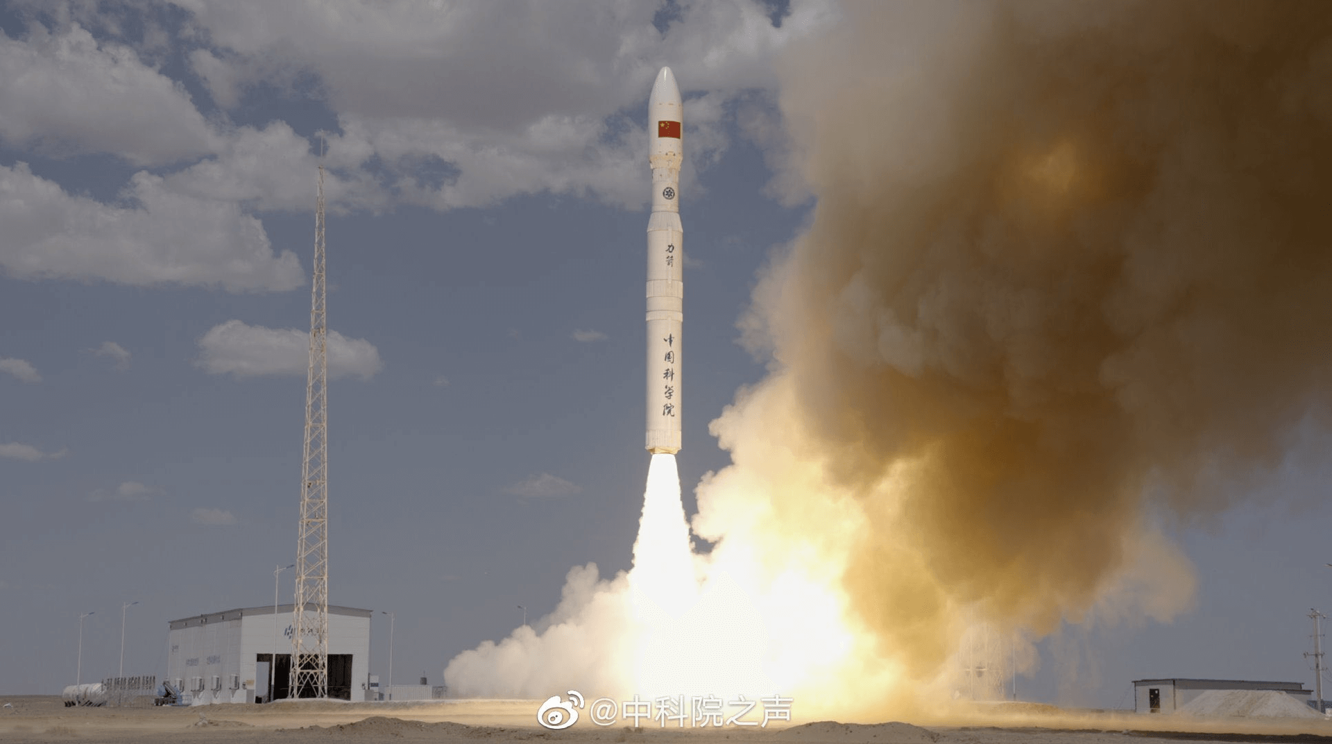
Kinetica 1 | 8 x Jilin-1
CAS Space | ChinaJiuquan Satellite Launch Center, People's Republic of China
June 15, 2026, 3:44 a.m.
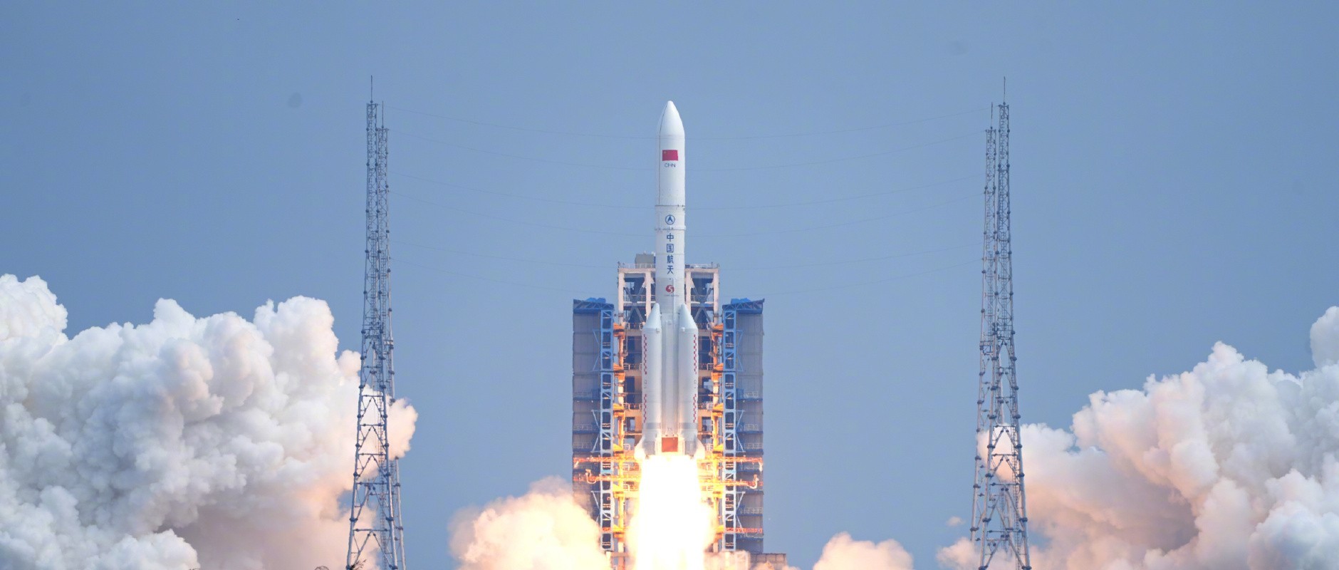
Long March 5 | TJSW-25
China Aerospace Science and Technology Corporation | ChinaWenchang Space Launch Site, People's Republic of China
June 11, 2026, 7:30 a.m.
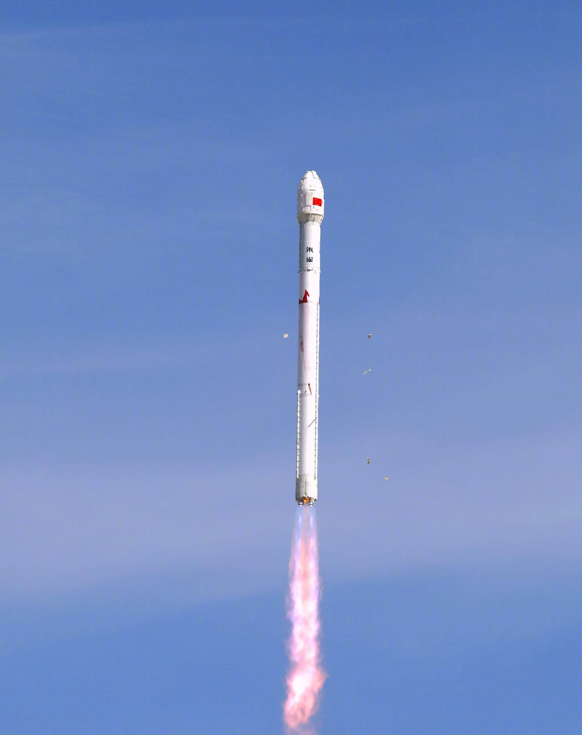
Zhuque-2E Block 2 | 2 x SatNet DTC test satellites
LandSpace | ChinaJiuquan Satellite Launch Center, People's Republic of China
June 9, 2026, 8:23 a.m.

