Previous Spaceflight Launches
Filter by Agency, Locations or Vehicles
Show All LaunchesZenit 2M | Fobos-Grunt & Yinghuo-1
Russian Federal Space Agency (ROSCOSMOS) | RussiaBaikonur Cosmodrome, Republic of Kazakhstan
Nov. 8, 2011, 8:16 p.m.
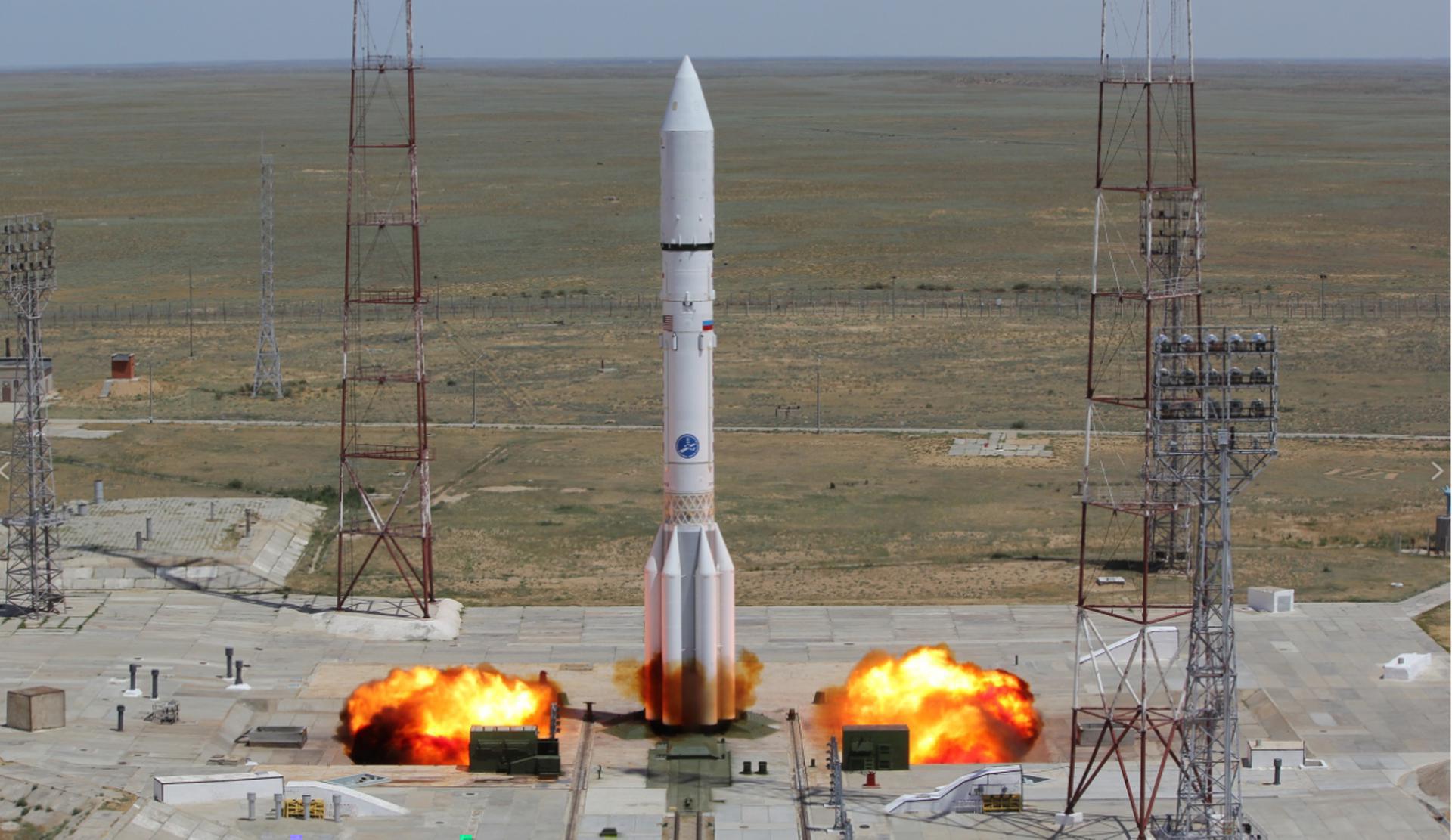
Proton-M Briz-M | 3 x Glonass-M (Kosmos 2475, Kosmos 2476, Kosmos 2477)
Khrunichev State Research and Production Space Center | RussiaBaikonur Cosmodrome, Republic of Kazakhstan
Nov. 4, 2011, 12:51 p.m.
Status: Launch Successful
Mission:
Glonass-M, also known as Uragan-M, are the second generation of Uragan satellite design used for GLONASS satellite navigation system. GLONASS is a Russian space-based navigation system comparable to the similar GPS and Galileo systems. This generation improves on accuracy, power consumption and design life. Each satellite weighs 1415 kg, is equipped with 12 L-band antennas, and has an operational lifetime of 7 years.
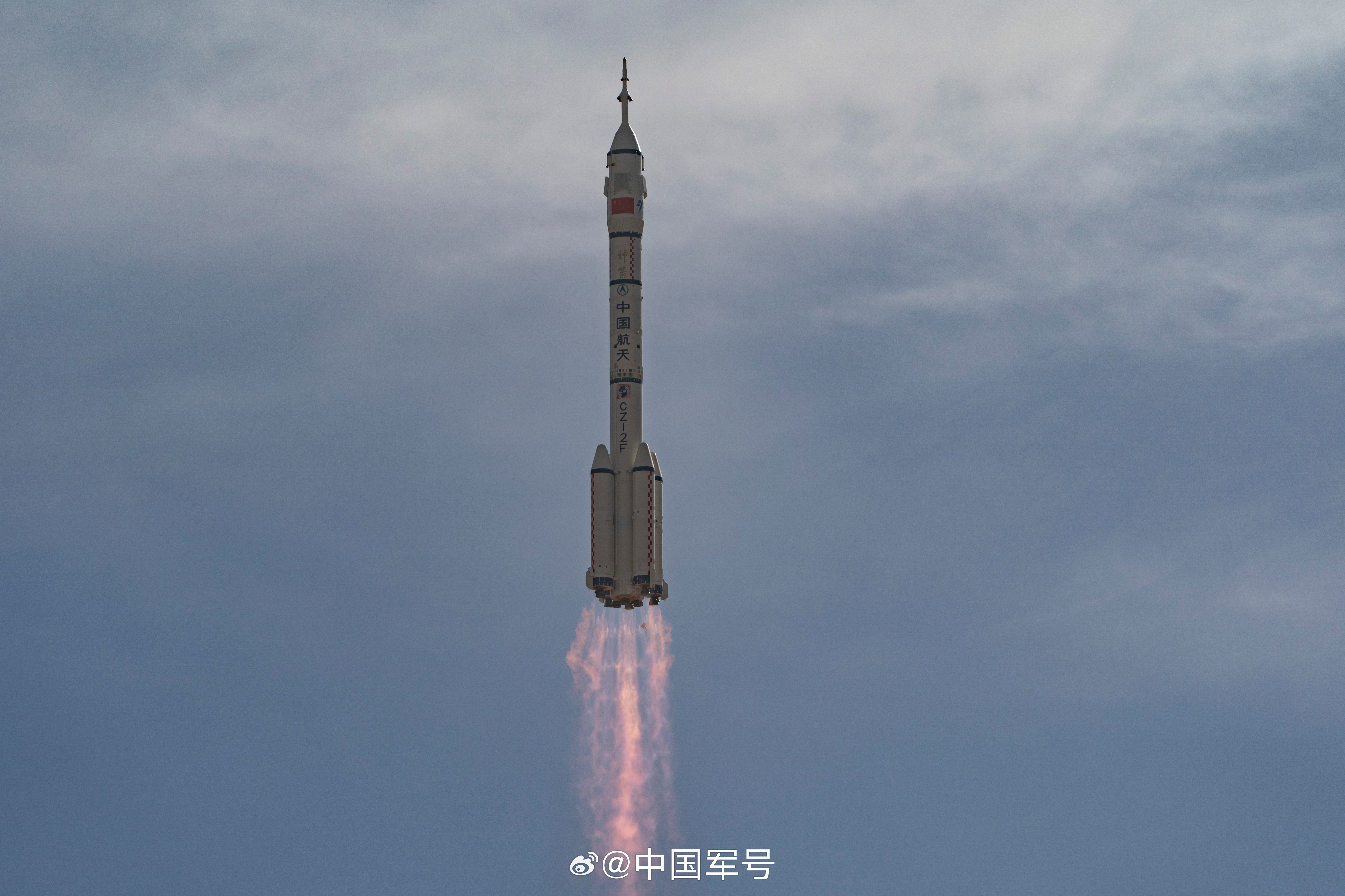
Medium Earth OrbitLong March 2F/G | Shenzhou-8 & Shenzhou-8-GC
China Aerospace Science and Technology Corporation | ChinaJiuquan Satellite Launch Center, People's Republic of China
Oct. 31, 2011, 9:58 p.m.
Status: Launch Successful
Mission:
This is the first docking mission for China's Shenzhou program. Being the first spacecraft to visit the Tiangong-1 space station, it was launched without crew to demonstrate spacecraft rendezvous and docking techniques. The spacecraft docked automatically to the station on 2 November 2011. A second undocking and re-docking to test accuracy and reliability of equipment and sensors in a bright environment was performed on 14 November 2011. Shenzhou 8 undocked on 17 November 2011 and landed safely back on Earth the same day.
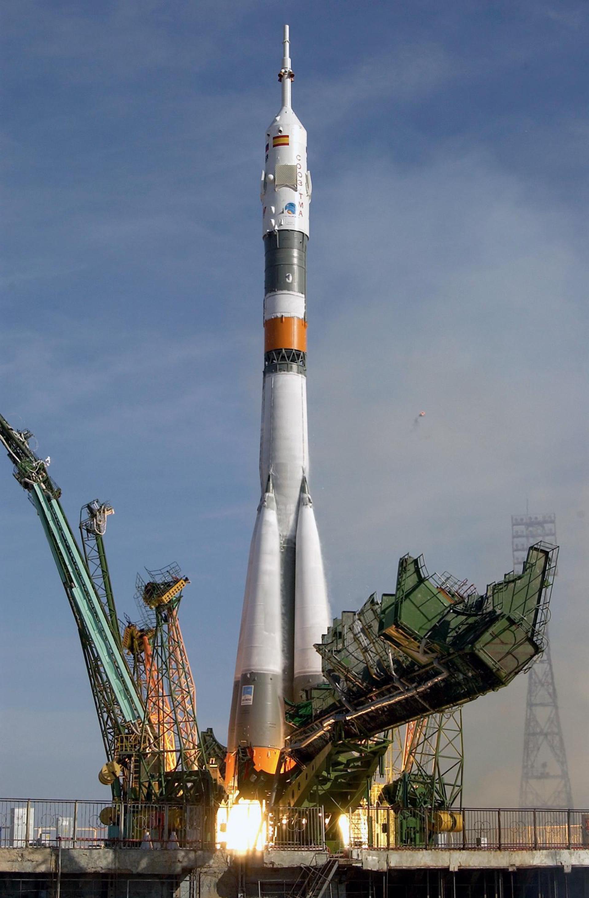
Low Earth OrbitSoyuz-U | Progress M-13M (45P)
Russian Federal Space Agency (ROSCOSMOS) | RussiaBaikonur Cosmodrome, Republic of Kazakhstan
Oct. 30, 2011, 10:11 a.m.
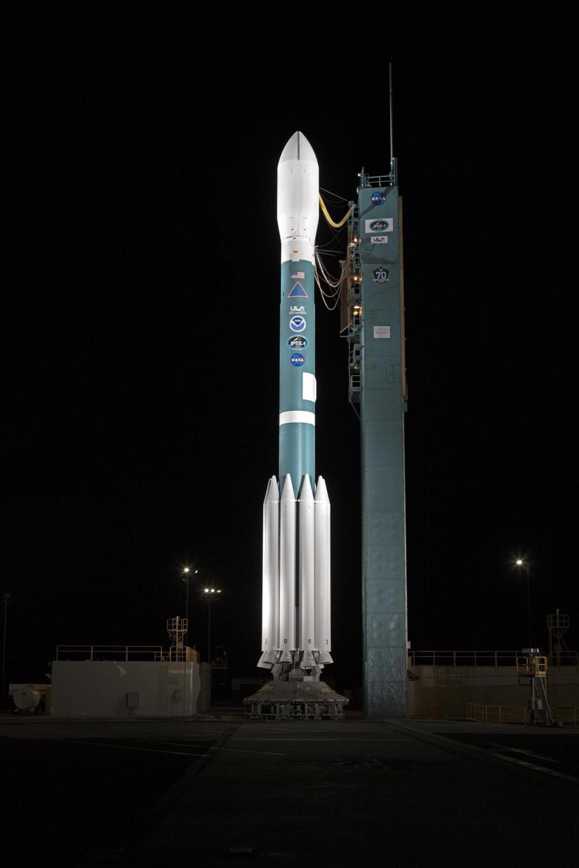
Delta II 7920-10C | NPP
United Launch Alliance | United States of AmericaVandenberg SFB, CA, USA
Oct. 28, 2011, 9:48 a.m.
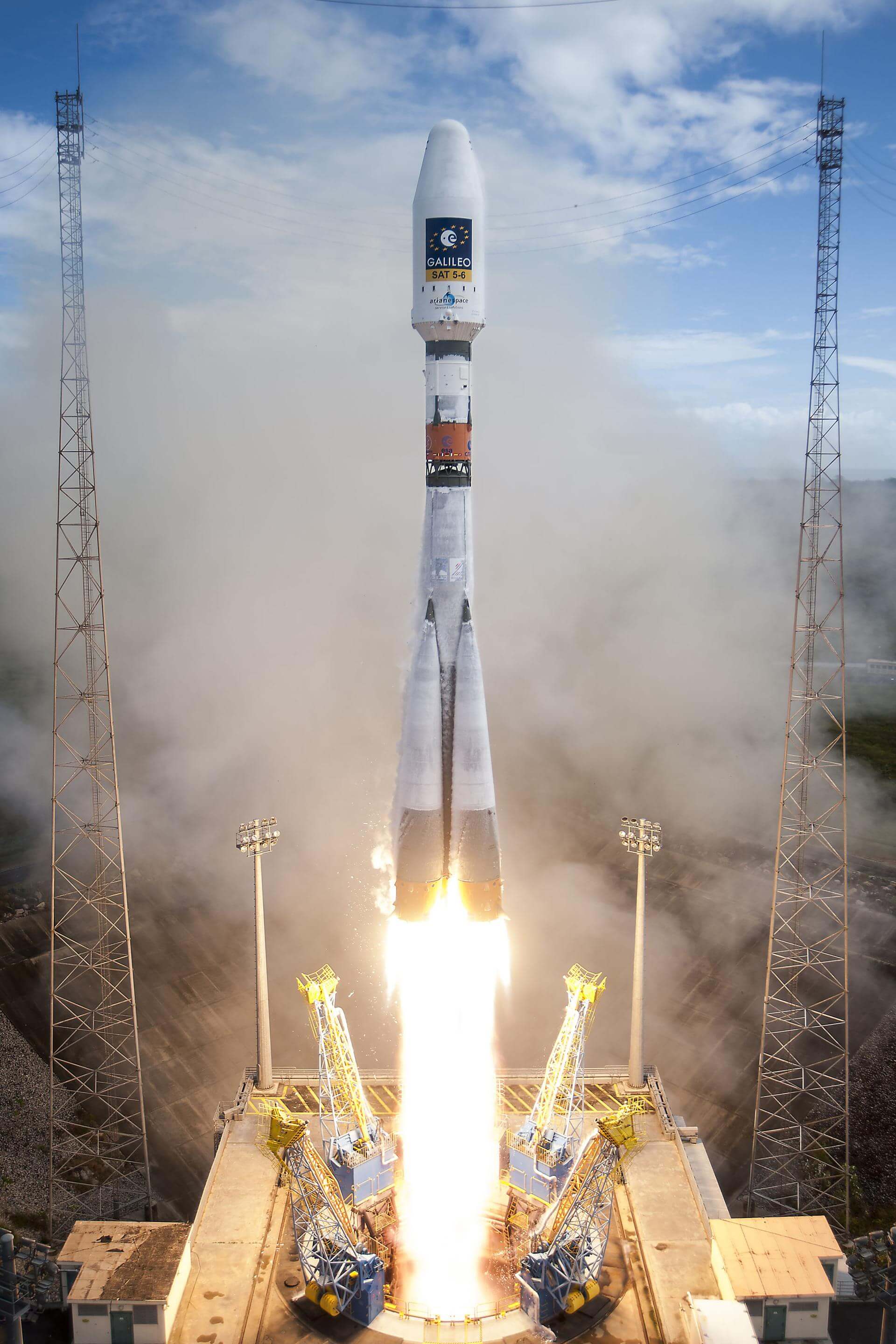
Soyuz STB/Fregat | Galileo L1 (IOV FM01-FM02)
Progress Rocket Space Center | RussiaGuiana Space Centre, French Guiana
Oct. 21, 2011, 10:30 a.m.
Status: Launch Successful
Mission:
The first two In Orbit Validation satellites of the Galileo constellation. The Galileo constellation is ESA's satellite navigation system and is expected to be completed by 2020. Galileo will provide Europe with an alternative to the American GPS and Russian GLONASS constellations, but will be interoperable with both systems. First launch of the Soyuz rocket from the Guiana Space Centre.
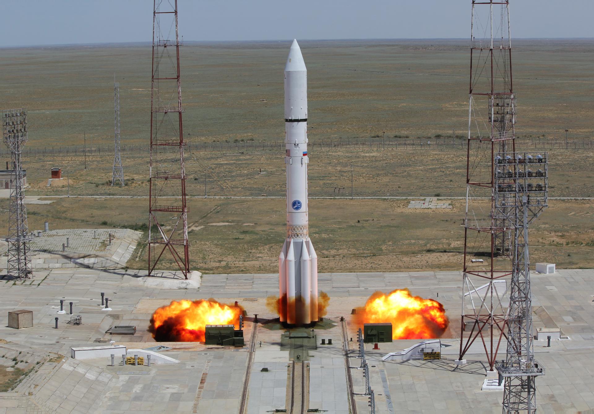
Medium Earth OrbitProton-M / Briz-M Enhanced | ViaSat-1
Khrunichev State Research and Production Space Center | RussiaBaikonur Cosmodrome, Republic of Kazakhstan
Oct. 19, 2011, 6:48 p.m.
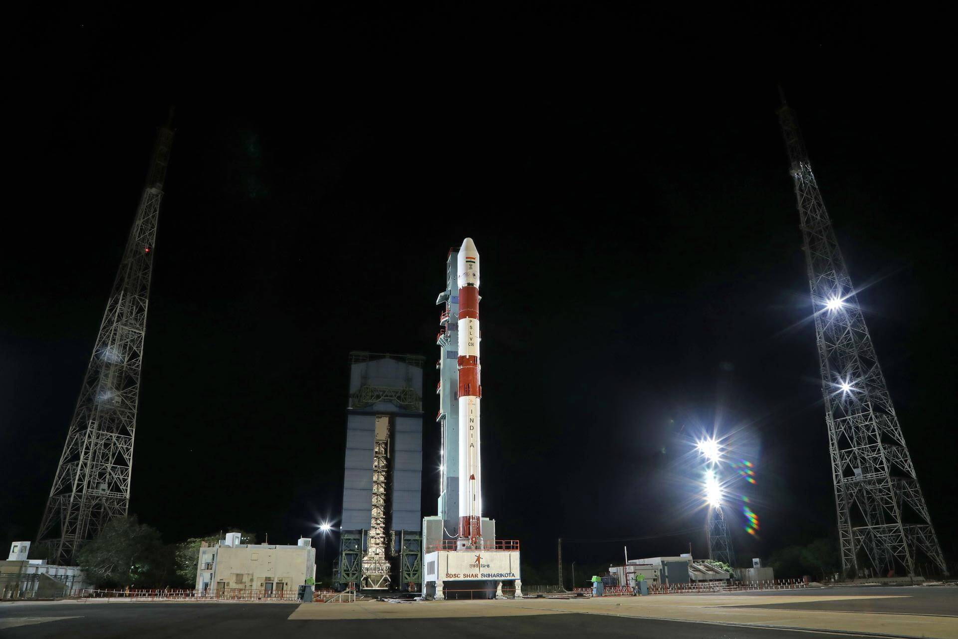
PSLV-CA | Megha-Tropiques
Indian Space Research Organization | IndiaSatish Dhawan Space Centre, India
Oct. 12, 2011, 5:31 a.m.
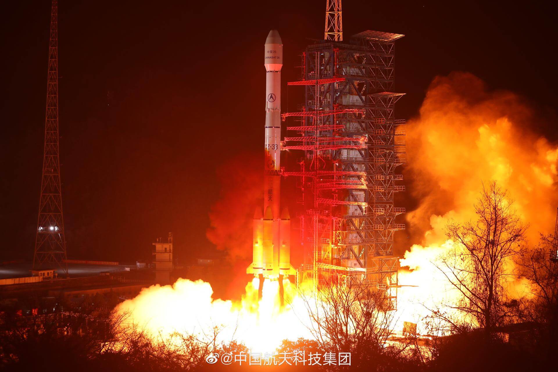
Long March 3B/E | Eutelsat W3C
China Aerospace Science and Technology Corporation | ChinaXichang Satellite Launch Center, People's Republic of China
Oct. 7, 2011, 8:21 a.m.
Zenit-3SLB | Intelsat 18
Land Launch | RussiaBaikonur Cosmodrome, Republic of Kazakhstan
Oct. 5, 2011, 9 p.m.

