Previous Spaceflight Launches
Filter by Agency, Locations or Vehicles
Show All LaunchesFalcon 9 Block 5 | Dragon CRS-2 SpX-22
SpaceX | United States of AmericaKennedy Space Center, FL, USA
June 3, 2021, 5:29 p.m.
Status: Launch Successful
Mission:
SpaceX will launch the second cargo variant of its Dragon 2 spacecraft on their 22nd commercial resupply services mission to the International Space Station. The flight will be conducted under the second Commercial Resupply Services contract with NASA. Dragon will be filled with supplies and payloads, including critical materials to directly support science and research investigations that occur onboard the orbiting laboratory.
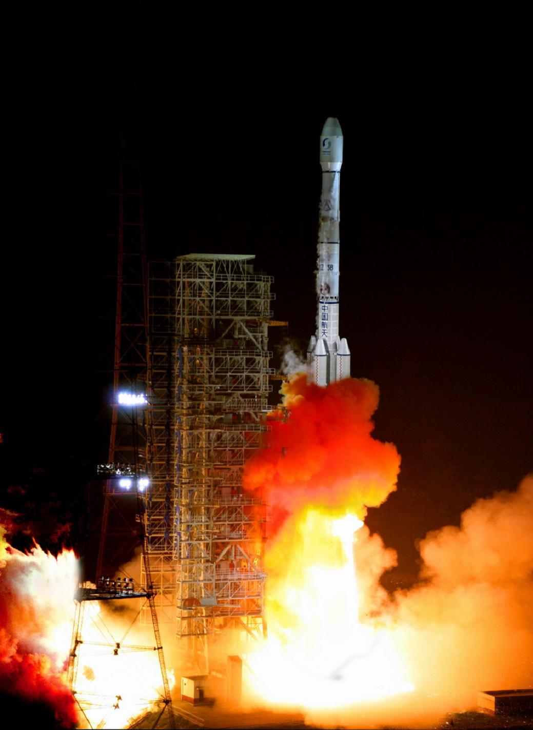
Low Earth Orbit B1067 - Maiden Flight Of Course I Still Love YouLong March 3B | Fengyun-4B
China Aerospace Science and Technology Corporation | ChinaXichang Satellite Launch Center, People's Republic of China
June 2, 2021, 4:17 p.m.
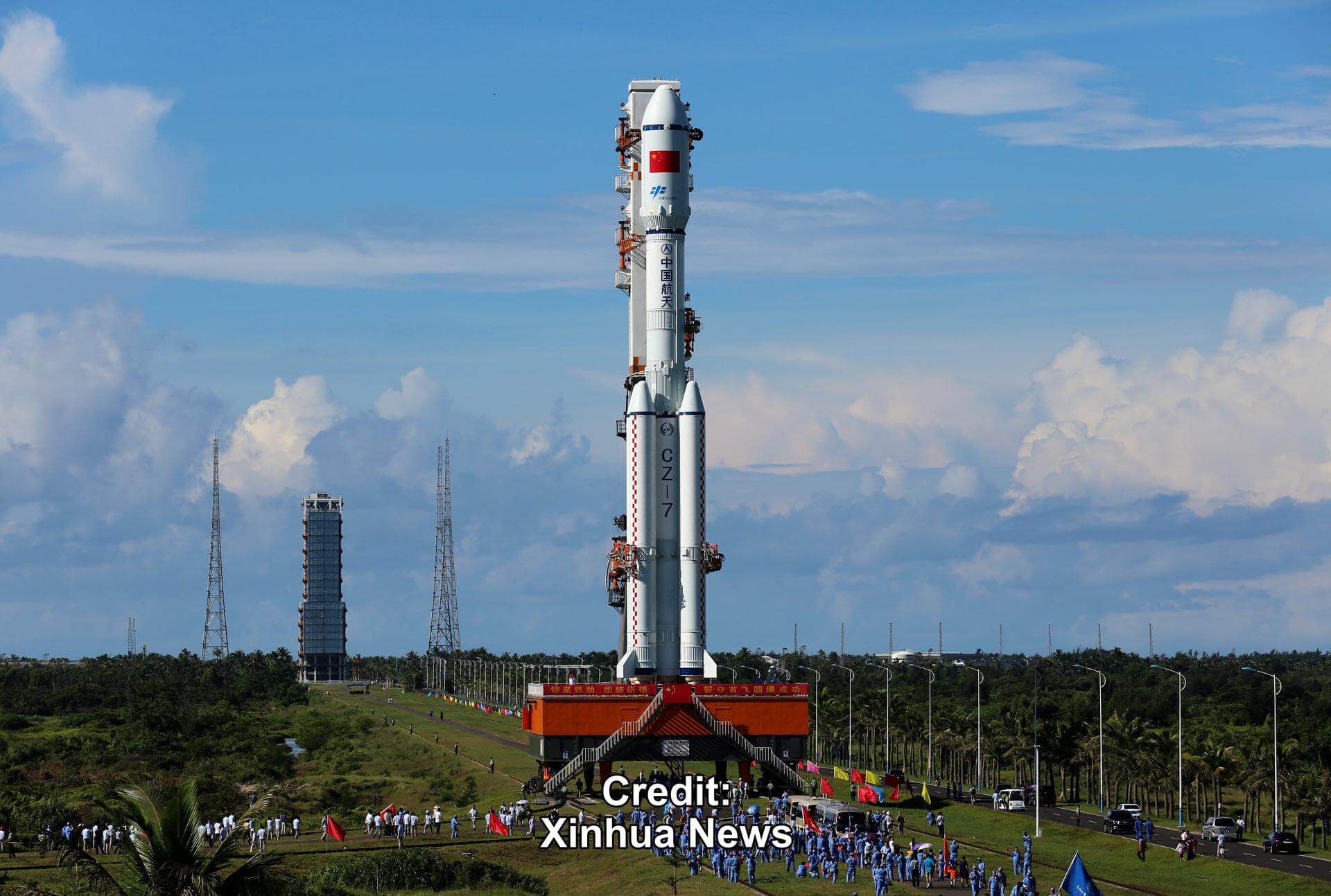
Long March 7 | Tianzhou-2
China Aerospace Science and Technology Corporation | ChinaWenchang Space Launch Site, People's Republic of China
May 29, 2021, 12:55 p.m.
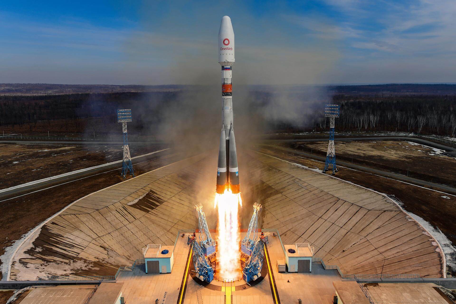
Soyuz 2.1b/Fregat-M | OneWeb 7
Progress Rocket Space Center | RussiaVostochny Cosmodrome, Siberia, Russian Federation
May 28, 2021, 5:38 p.m.
Status: Launch Successful
Mission:
A batch of 36 satellites for the OneWeb satellite constellation, which is intended to provide global Internet broadband service for individual consumers. The constellation is planned to have around 648 microsatellites (of which 60 are spares), around 150 kg each, operating in Ku-band from low Earth orbit.
Polar OrbitFalcon 9 Block 5 | Starlink 28
SpaceX | United States of AmericaCape Canaveral SFS, FL, USA
May 26, 2021, 6:59 p.m.
SpaceShipTwo | VSS Unity VF-03
Virgin Galactic | United States of AmericaAir launch to Suborbital flight
May 22, 2021, 3:27 p.m.
Long March 4B | Haiyang 2D
China Aerospace Science and Technology Corporation | ChinaJiuquan Satellite Launch Center, People's Republic of China
May 19, 2021, 4:03 a.m.
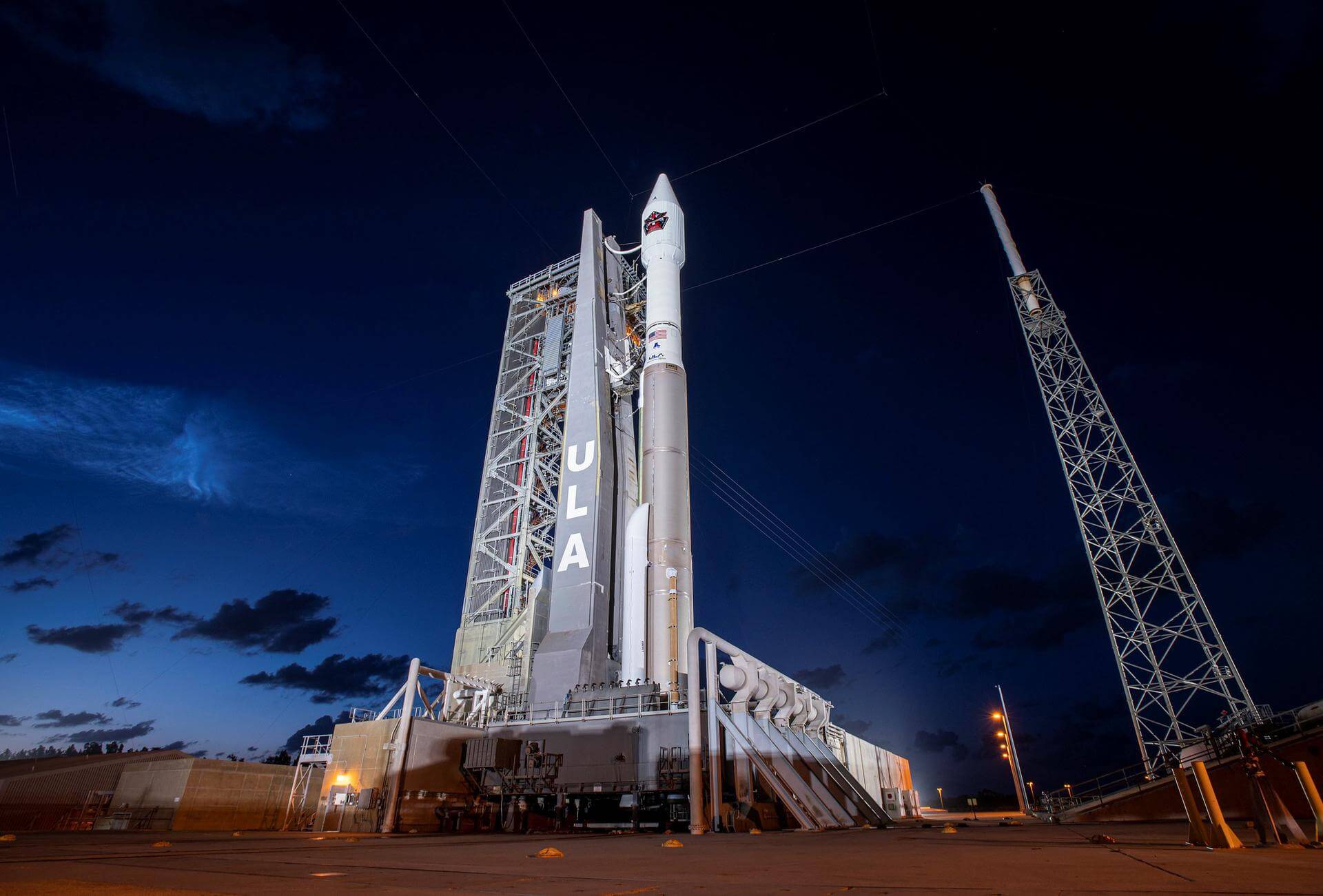
Atlas V 421 | SBIRS GEO-5
United Launch Alliance | United States of AmericaCape Canaveral SFS, FL, USA
May 18, 2021, 5:37 p.m.
Status: Launch Successful
Mission:
Fifth geosynchronous satellite of the Space Based Infrared System program (SBIRS), providing capabilities for early missile warning and missile defense. SBIRS GEO-5 is the first satellite using Lockheed Martin's LM2100 combat bus.
Geostationary Transfer OrbitFalcon 9 Block 5 | Starlink 26
SpaceX | United States of AmericaKennedy Space Center, FL, USA
May 15, 2021, 10:56 p.m.
Status: Launch Successful
Mission:
A batch of 52 satellites for Starlink mega-constellation - SpaceX's project for space-based Internet communication system. Two rideshare satellites are also on this flight: a Capella radar observation spacecraft and a small payload from the California-based smallsat manufacturer Tyvak.
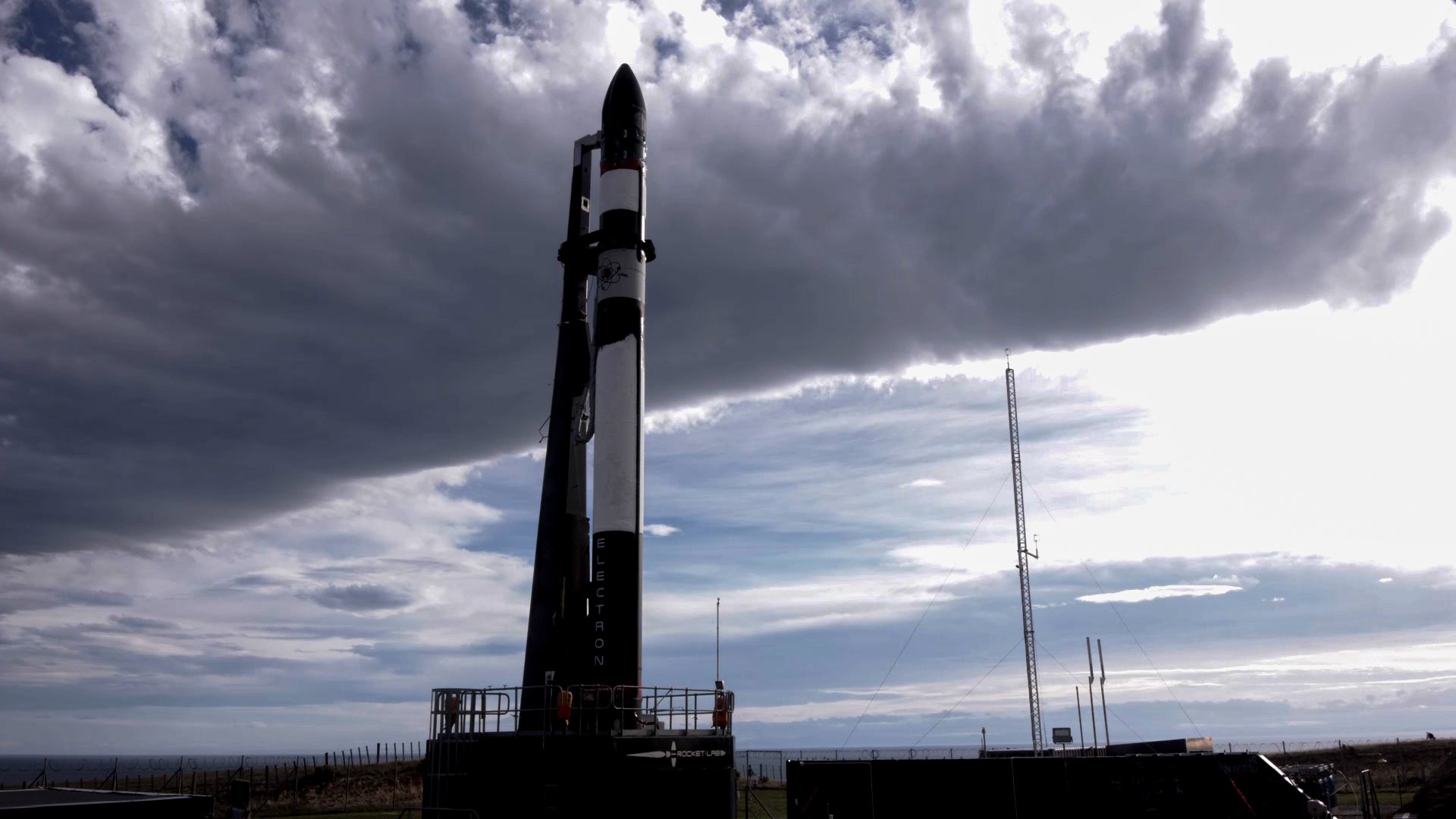
Low Earth Orbit B1058 - Flight Proven ( ) Of Course I Still Love YouElectron | Running Out of Toes (BlackSky 8-9)
Rocket Lab | United States of AmericaRocket Lab Launch Complex 1, Mahia Peninsula, New Zealand
May 15, 2021, 11:11 a.m.

