SpaceX Launch Schedule
Filter by Agency, Locations or Vehicles
Show All Launches
Falcon 9 Block 5 | SDA Tranche 2 Transport Layer D
SpaceX | United States of AmericaCape Canaveral SFS, FL, USA
TBD December, 2026
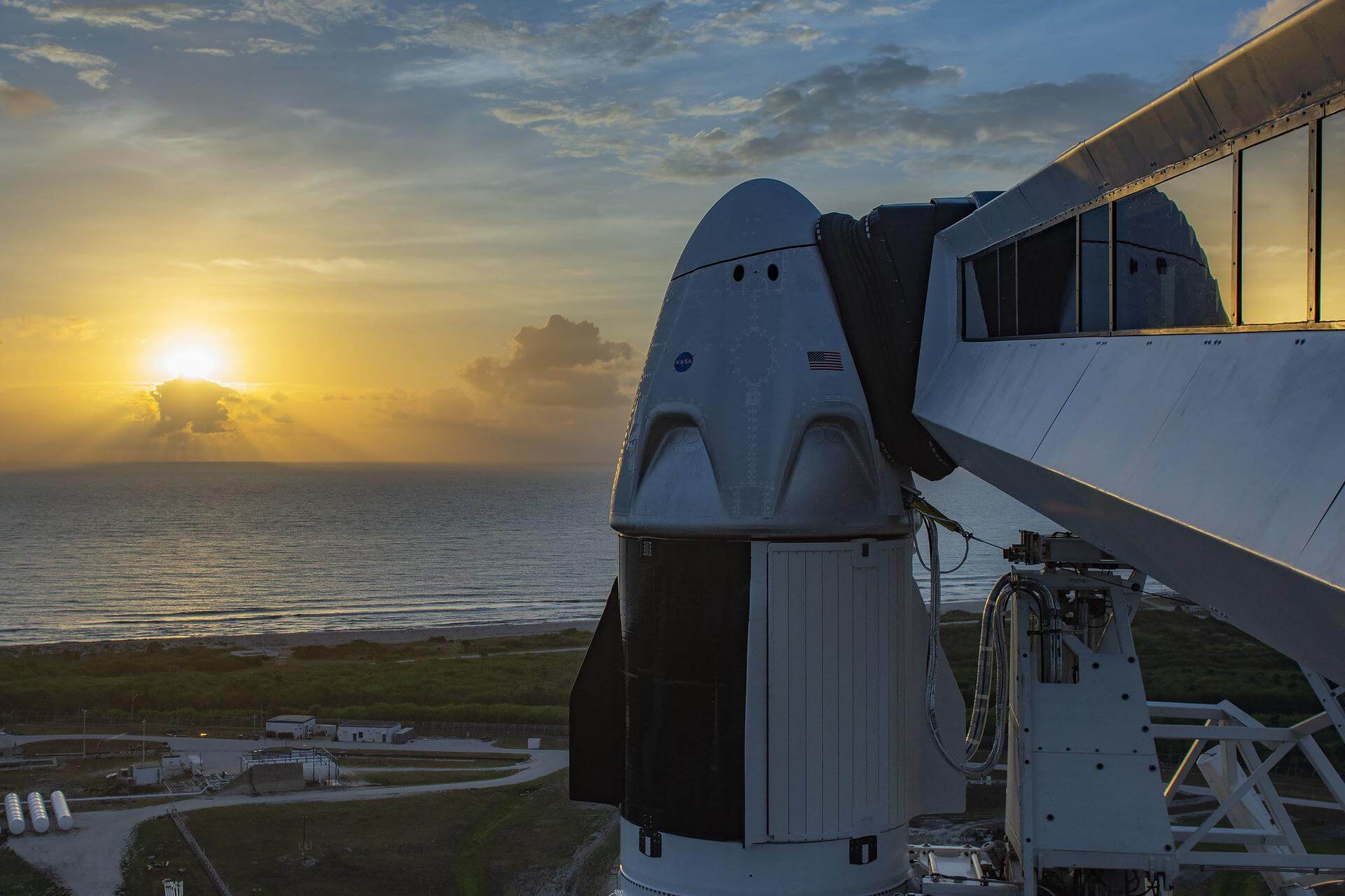
Falcon 9 Block 5 | VICTUS SURGO
SpaceX | United States of AmericaCape Canaveral SFS, FL, USA
TBD December, 2026
Status: To Be Determined
Mission:
A new Tactically Responsive Space (TacRS) mission by the United States Space Force Space Systems Command to deliver responsive space delivery. The mission consists of an Impulse Space Mira orbital transfer vehicle that will operate in Geosynchronous Transfer Orbit (GTO), which would be transferred from Low Earth Orbit (LEO) on an Impulse Space Helios kick stage. A Helios rideshare payload will also be delivered to GEO.
Low Earth OrbitFalcon 9 Block 5 | Nova-C IM-3
SpaceX | United States of AmericaCape Canaveral SFS, FL, USA
TBD December, 2026
Status: To Be Determined
Mission:
This is the third mission to the Moon for Intuitive Machines with its Nova-C lunar lander. It is to deliver 130 kg of payloads to the lunar surface. This mission also includes a rideshare possibility due to available excess capacity on the launch vehicle.
Lunar OrbitFalcon 9 Block 5 | Blue Ghost Lunar Lander Mission 2
SpaceX | United States of AmericaCape Canaveral SFS, FL, USA
TBD December, 2026
Status: To Be Determined
Mission:
2nd lunar lander developed by Firefly Aerospace. The Blue Ghost lander will be of a new two-stage version utilizing an Elytra Dark transfer vehicle to place it and the European Space Agency's Lunar Pathfinder experimental communication satellite into Lunar orbit. The lander will land on the far side of the Moon with 2 NASA payloads: * Lunar Surface Electromagnetics Experiment (LuSEE-Night) * User Terminal (UT)
Lunar OrbitFalcon 9 Block 5 | Telesat Lightspeed 7
SpaceX | United States of AmericaCape Canaveral SFS, FL, USA
TBD December, 2026
Falcon 9 Block 5 | SDA Tranche 2 Transport Layer E
SpaceX | United States of AmericaVandenberg SFB, CA, USA
TBD December, 2026
Falcon 9 Block 5 | Globalstar 2-R Mission 2 (x 8)
SpaceX | United States of AmericaCape Canaveral SFS, FL, USA
TBD December, 2026
Status: To Be Determined
Mission:
The Globalstar global mobile communications network offers global, digital real time voice, data and fax services via its Low Earth Orbit satellite constellation. The constellation operates in a 1410 km orbit inclined at 52 degrees. In early 2022, Globalstar contracted with MDA for the construction of 17 new 2nd generation refresh satellites to replenish the existing constellation. Rocket Lab is sub-contracted to build the satellites' buses and the launch dispensers.
Low Earth Orbit Unknown F9 - Maiden Flight A Shortfall of GravitasFalcon 9 Block 5 | SDA Tranche 2 Transport Layer C
SpaceX | United States of AmericaCape Canaveral SFS, FL, USA
TBD January, 2027
Falcon 9 Block 5 | Axiom Space Mission 5
SpaceX | United States of AmericaCape Canaveral SFS, FL, USA
TBD January, 2027
Status: To Be Determined
Mission:
This is a Crew Dragon flight for a private company Axiom Space. The mission will carry a professionally trained commander alongside three private astronauts to and from the International Space Station for a month.
Low Earth Orbit Unknown F9 - Maiden Flight Landing Zone 40Falcon 9 Block 5 | SDA Tranche 2 Transport Layer F
SpaceX | United States of AmericaVandenberg SFB, CA, USA
TBD January, 2027
Falcon 9
Transporter 17 (Dedicated SSO Rideshare)
Space Launch Complex 4E - Vandenberg SFB, CA, USADedicated rideshare flight to a sun-synchronous orbit with dozens of small microsatellites and nanosatellites for commercial and government customers.
Long March 8A
SpaceSail Polar Group #14
Commercial LC-1 - Wenchang Space Launch Site, People's Republic of China20 Low Earth Orbit communication satellites with Ku, Q and V band payloads for the G60 constellation operated by Shanghai Spacesail Technologies with…
Falcon 9
Starlink Group 10-50
Space Launch Complex 40 - Cape Canaveral SFS, FL, USAA batch of 29 satellites for the Starlink mega-constellation - SpaceX's project for space-based Internet communication system. The Falcon 9 1st st…
Long March 6A
SpaceSail Polar Group #13
Launch Complex 9A - Taiyuan Satellite Launch Center, People's Republic of China18 Low Earth Orbit communication satellites with Ku, Q and V band payloads for the G60 constellation operated by Shanghai Spacesail Technologies with…
Pegasus XL
Swift Boost Mission
Kwajalein Atoll - Air launch to orbitContracted by NASA under the Small Business Innovation Research Phase 3 contract, Katalyst Space Technologies' LINK servicing spacecraft will rendezv…
Atlas V 551
Amazon Leo (LA-08)
Space Launch Complex 41 - Cape Canaveral SFS, FL, USAAmazon Leo, formerly known as Project Kuiper, is a mega constellation of satellites in Low Earth Orbit that will offer broadband internet access, thi…
Falcon 9
Starlink Group 17-46
Space Launch Complex 4E - Vandenberg SFB, CA, USAA batch of 24 satellites for the Starlink mega-constellation - SpaceX's project for space-based Internet communication system.
Long March 4B
Haiyang 2E
Launch Area 94 (SLS-2 / 603) - Jiuquan Satellite Launch Center, People's Republic of ChinaHaiyang 2E (Chinese: "Ocean"), abbreviated HY-2E, is a marine remote sensing satellite of China. The HY-2 series' primary objective is to measure oce…
Falcon 9
Sirius SXM-11
Space Launch Complex 40 - Cape Canaveral SFS, FL, USASXM-11 is the 12th high-powered, digital, audio radio satellite built by Lanteris Space (ex-Maxar, Space System/Loral) for SiriusXM. The SXM-11 satel…
Falcon 9
Starlink Group 17-40
Space Launch Complex 4E - Vandenberg SFB, CA, USAA batch of 24 satellites for the Starlink mega-constellation - SpaceX's project for space-based Internet communication system.

