SpaceX Launch Schedule
Filter by Agency, Locations or Vehicles
Show All Launches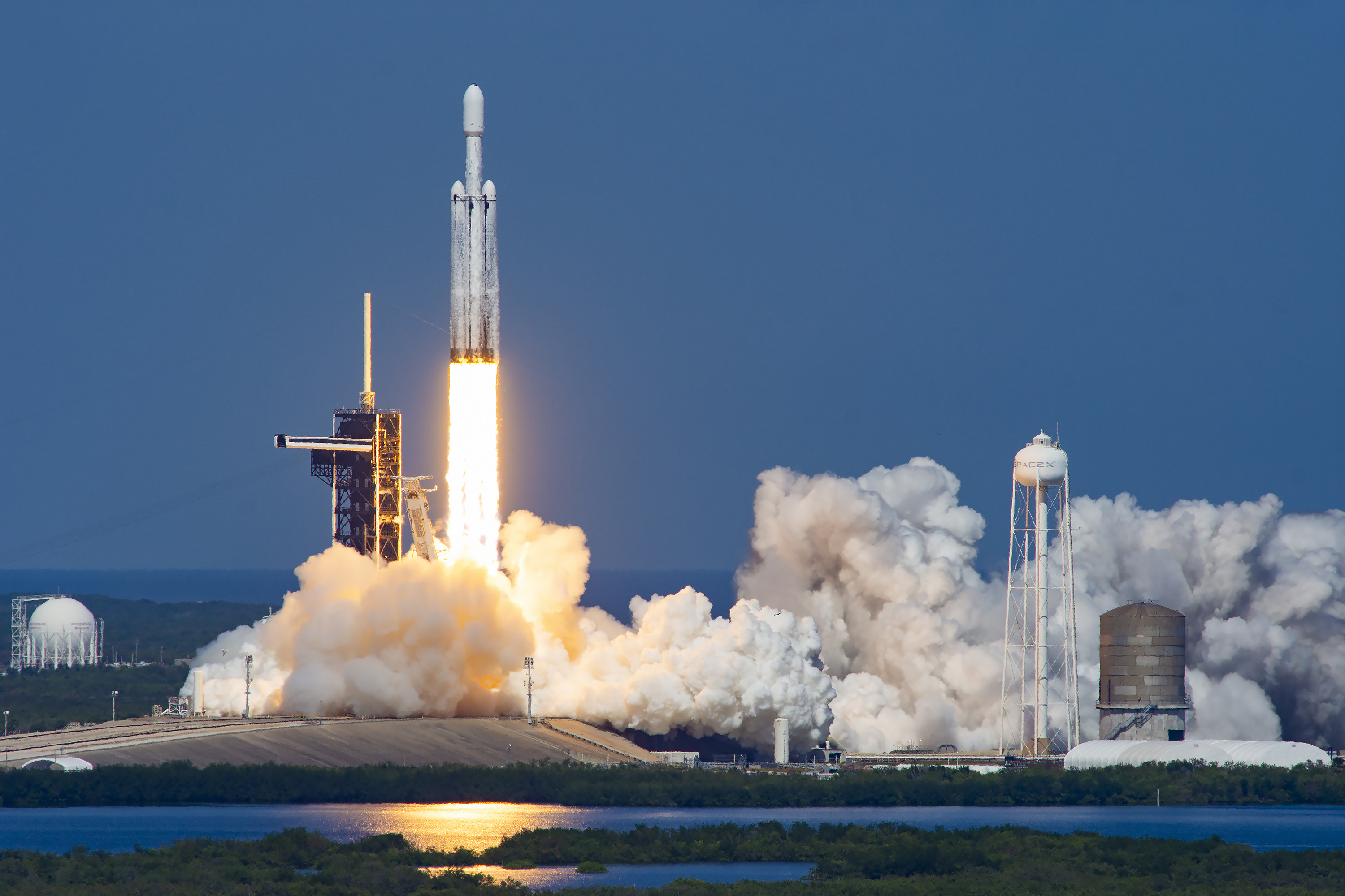
Falcon Heavy | Dragonfly
SpaceX | United States of AmericaKennedy Space Center, FL, USA
TBD July, 2028
Status: To Be Determined
Mission:
Dragonfly is NASA's 4th New Frontiers program mission that will send a robotic rotorcraft to fly within the atmosphere of Saturn's moon Titan to sample materials and determine surface composition in different geologic settings, advancing humanity's search for the building blocks of life. The craft is a large quadcopter with double rotors with mass of about 875 kg, featuring rotors of 1.35 m in diameter. It can fly through several kilometers within an hour and will perform 1 flight per Titan day (~16 Earth days). During the planned 3.3-year mission, Dragonfly is expected to cover distance up to several hundred km. Dragonfly will use a Multi-Mission Radioisotope Thermoelectric Generator (MMRTG) to power its instruments. The planned science instrument suite is: * DragonCam: Camera Suite * DrACO: Drill for Acquisition of Complex Organics * DraMS: Mass Spectrometer * DraGNS: Gamma-ray and Neutron Spectrometer * DraGMet: Geophysics and Meteorology
Heliocentric N/A
Falcon 9 Block 5 | SEOPS Waymaker-1
SpaceX | United States of AmericaVandenberg SFB, CA, USA
TBD September, 2028
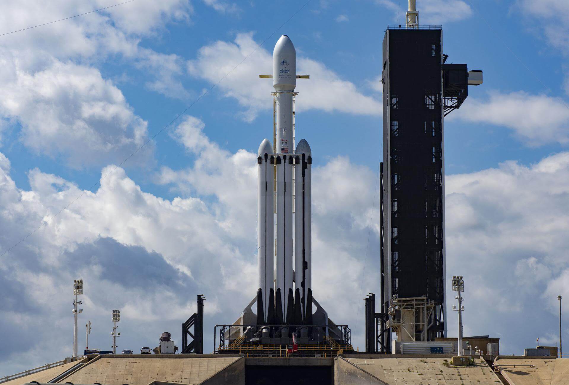
Falcon Heavy | ExoMars 2028 Rosalind Franklin rover
SpaceX | United States of AmericaKennedy Space Center, FL, USA
TBD October, 2028
Status: To Be Determined
Mission:
ExoMars 2028 is a second mission of two-part European Space Agency astrobiology project to search for evidence of life on Mars. The primary objective is to land the rover at a site with high potential for finding well-preserved organic material, particularly from the very early history of the planet. The rover is expected to travel several kilometers during its mission. The European rover will be the first mission to combine the capability to move across the surface and to study Mars at depth. It will collect samples with a drill down to a depth of 2 m and analyze them with next-generation instruments in an onboard laboratory. Underground samples are more likely to include biomarkers, since the tenuous martian atmosphere offers little protection from radiation and photochemistry at the surface.
Heliocentric N/AFalcon 9 Block 5 | EchoStar 26
SpaceX | United States of AmericaCape Canaveral SFS, FL, USA
TBD December, 2028
Status: To Be Determined
Mission:
EchoStar 26 is a direct broadcast satellite, built on the proven Maxar 1300 series platform, which will deliver content across DISH TV customers across all 50 U.S. states & Puerto Rico. It will be equipped with a high-power, multi-spot beam payload, allowing DISH to provide high-quality content to its customers.
Geostationary Transfer OrbitFalcon 9 Block 5 | Al Yah 5
SpaceX | United States of AmericaCape Canaveral SFS, FL, USA
TBD December, 2028
Falcon 9 Block 5 | Exolaunch Exo-2
SpaceX | United States of AmericaVandenberg SFB, CA, USA
TBD December, 2028
Falcon 9 Block 5 | SEOPS Darkstar-1
SpaceX | United States of AmericaCape Canaveral SFS, FL, USA
TBD December, 2028
Falcon 9 Block 5 | WSF-M2 & BLAZE-2 (USSF-178)
SpaceX | United States of AmericaVandenberg SFB, CA, USA
TBD December, 2028
Status: To Be Determined
Mission:
Second Weather System Follow-on (WSF) satellite. WSF-M (Weather System Follow-on - Microwave) is the next-generation operational environmental satellite system for the Department of Defense (DoD), to replace the microwave wavelength weather forecasting capabilities of the DMSP satellites. Ball Aerospace has been selected in late November 2017 to be the prime contractor for 2 Low Earth Orbit (LEO) weather satellites with a passive microwave imaging radiometer instrument and hosted Government furnished energetic charged particle (ECP) sensor space weather payload developed by the Air Force Research Laboratory. The radiometer leverages the Ball-built Global Precipitation Measurement (GPM) Microwave Imager (GMI) instrument. This mission will improve weather forecasting over maritime regions by taking global measurements of the atmosphere and ocean surface. The launch will also include BLAZE-2, a launch opportunity for operational, research, development, and prototype small satellites from across the DoD.
Polar OrbitFalcon 9 Block 5 | KPS-1
SpaceX | United States of AmericaCape Canaveral SFS, FL, USA
TBD September, 2029
Status: To Be Determined
Mission:
KPS-1 is South Korea's first navigation satellite, the 1st of 8 satellites planned for the Korean Positioning System (KPS). This will be one of 5 satellites to be deployed into an Inclined Geosynchronous Orbit (IGSO), with the other 3 in geostationary orbits. The KPS is scheduled to be completed by 2035.
Geosynchronous Transfer OrbitFalcon 9 Block 5 | Amazon Leo (LF-13)
SpaceX | United States of AmericaCape Canaveral SFS, FL, USA
TBD December, 2029
Status: To Be Determined
Mission:
Amazon Leo, formerly known as Project Kuiper, is a mega constellation of satellites in Low Earth Orbit designed to offer broadband internet access managed by Kuiper Systems LLC, a subsidiary of Amazon. This constellation is planned to be composed of 3,276 satellites. The satellites are projected to be placed in 98 orbital planes in three orbital layers, one at 590 km, 610 km and 630 km altitude.
Low Earth OrbitFalcon 9
Starlink Group 17-52
Space Launch Complex 4E - Vandenberg SFB, CA, USAA batch of 24 satellites for the Starlink mega-constellation - SpaceX's project for space-based Internet communication system.
Falcon 9
NROL-95
Space Launch Complex 40 - Cape Canaveral SFS, FL, USAClassified payload for the US National Reconnaissance Office.
Long March 6A
TJSW-27A & B
Launch Complex 9A - Taiyuan Satellite Launch Center, People's Republic of China2 Chinese classified satellites claimed to be for communication technology test purposes. Actual mission not known.
Long March 7A
Tianlian 3-01
201 - Wenchang Space Launch Site, People's Republic of ChinaTianlian is a Chinese data tracking and relay communications geostationary satellite series. The TL-3 (Tian Lian 3) satellites are the 3rd generation…
Falcon 9
Starlink Group 17-51
Space Launch Complex 4E - Vandenberg SFB, CA, USAA batch of 24 satellites for the Starlink mega-constellation - SpaceX's project for space-based Internet communication system.
Starship
Flight 13
Orbital Launch Pad 2 - SpaceX Starbase, TX, USA13th test flight of the two-stage Starship launch vehicle. Second flight of Starship V3. For the first time, Starship will carry 20 V3 Starlink sa…
Kinetica 1
5 satellites
Launch Area 130 - Jiuquan Satellite Launch Center, People's Republic of ChinaShare-ride of 5 commercial Earth observation and technology demonstration satellites to SSO, including SpaceTY's TY-48. Details TBD.
Long March 3B/E
Tianlian 2-06
Launch Complex 2 (LC-2) - Xichang Satellite Launch Center, People's Republic of ChinaTianlian is a Chinese data tracking and relay communications geostationary satellite series. The TL 2 (Tian Lian 2) satellites represent the second g…
Gravity-1
9 satellites
Yellow Sea (launch location 5) - Haiyang Oriental SpaceportCarried 9 satellites on a share-ride to sun-synchronous orbit. Details TBD.
Falcon 9
MRV-1
Space Launch Complex 40 - Cape Canaveral SFS, FL, USAThe Northrop Grumman/SpaceLogistics MRV-1 is a mission extension payload including a mission robotic vehicle (MRV) and multiple mission extension pod…

