Previous Spaceflight Launches
Filter by Agency, Locations or Vehicles
Show All Launches
Falcon 9 Block 5 | Starlink Group 10-19
SpaceX | United States of AmericaCape Canaveral SFS, FL, USA
Aug. 11, 2026, 3:58 p.m.
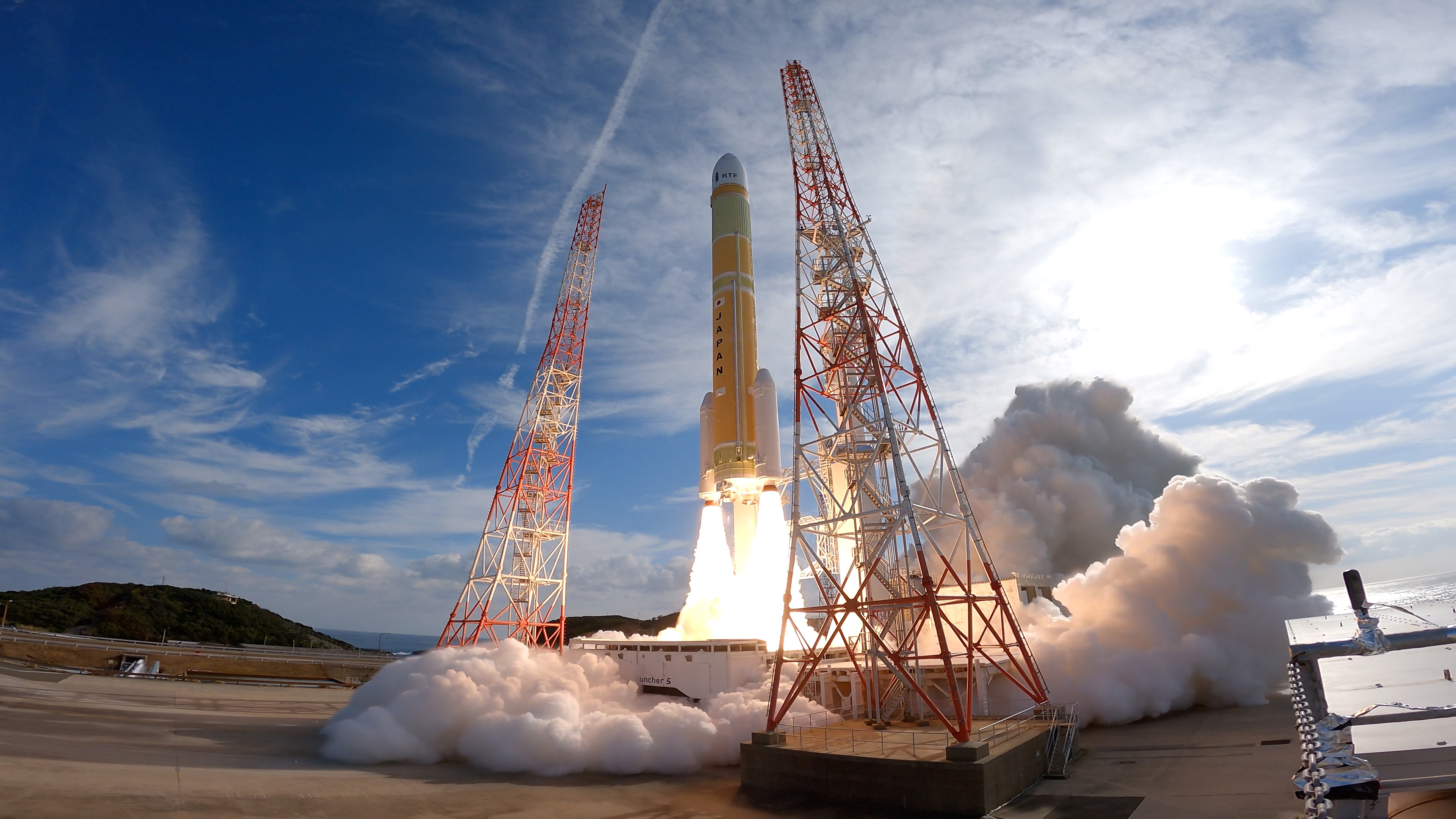
H3-22 | Michibiki 7 (QZS-7)
Mitsubishi Heavy Industries | JapanTanegashima Space Center, Japan
Aug. 10, 2026, 7:23 p.m.
Status: Launch Successful
Mission:
QZSS (Quasi Zenith Satellite System) is a Japanese satellite navigation system operating from inclined, elliptical geosynchronous orbits to achieve optimal high-elevation visibility in urban canyons and mountainous areas. The navigation system objective is to broadcast GPS-interoperable and augmentation signals as well as original Japanese (QZSS) signals from a three-spacecraft constellation. The navigation system objective is to broadcast GPS-interoperable and augmentation signals as well as original Japanese (QZSS) signals from a three-spacecraft constellation in inclined, elliptical geosynchronous orbits.
Geostationary Transfer Orbit
Long March 7A | ChinaSat 4B
China Aerospace Science and Technology Corporation | ChinaWenchang Space Launch Site, People's Republic of China
Aug. 10, 2026, 12:02 p.m.
Falcon 9 Block 5 | Starlink Group 17-38
SpaceX | United States of AmericaVandenberg SFB, CA, USA
Aug. 8, 2026, 4:35 p.m.

Electron | The Grain Goddess Provides (iQPS Launch 7)
Rocket Lab | United States of AmericaRocket Lab Launch Complex 1, Mahia Peninsula, New Zealand
Aug. 6, 2026, 9:18 a.m.
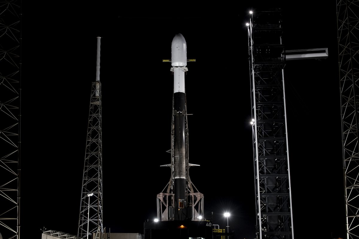
Falcon 9 Block 5 | BlueBird 11-13 (Block 2 #6-8)
SpaceX | United States of AmericaCape Canaveral SFS, FL, USA
Aug. 5, 2026, 7:49 a.m.
Status: Launch Successful
Mission:
AST SpaceMobile’s Block 2 BlueBird satellites are designed to deliver up to 10 times the bandwidth capacity of the BlueBird Block 1 satellites, required to achieve 24/7 continuous cellular broadband service coverage in the United States, with beams designed to support a capacity of up to 40 MHz, enabling peak data transmission speeds up to 120 Mbps, supporting voice, full data and video applications. The Block 2 BlueBirds, featuring as large as 2400 square foot communications arrays, will be the largest satellites ever commercially deployed in Low Earth orbit once launched. This launch will feature 3 satellites.
Low Earth Orbit B1077 - Flight Proven ( ) A Shortfall of Gravitas
Smart Dragon 3 | OSE HS-01 & 02
China Rocket Co. Ltd. | ChinaHaiyang Oriental Spaceport
Aug. 5, 2026, 2:38 a.m.
Status: Launch Successful
Mission:
2 hyper-spectral Earth observation satellites from Chinese company STAR.VISION. Both satellites are built in corporation with foreign customers: * Lampung-1: Built in close partnership with Lampung Province, Indonesia, to accelerate marine economy growth, environmental governance, and regional industry collaboration. * Samarkand 2028: Jointly created with Uzcosmos, Uzbekistan, to support regional ecological monitoring and technological innovation.
Sun-Synchronous OrbitFalcon 9 Block 5 | Starlink Group 17-53
SpaceX | United States of AmericaVandenberg SFB, CA, USA
Aug. 4, 2026, 5:05 p.m.
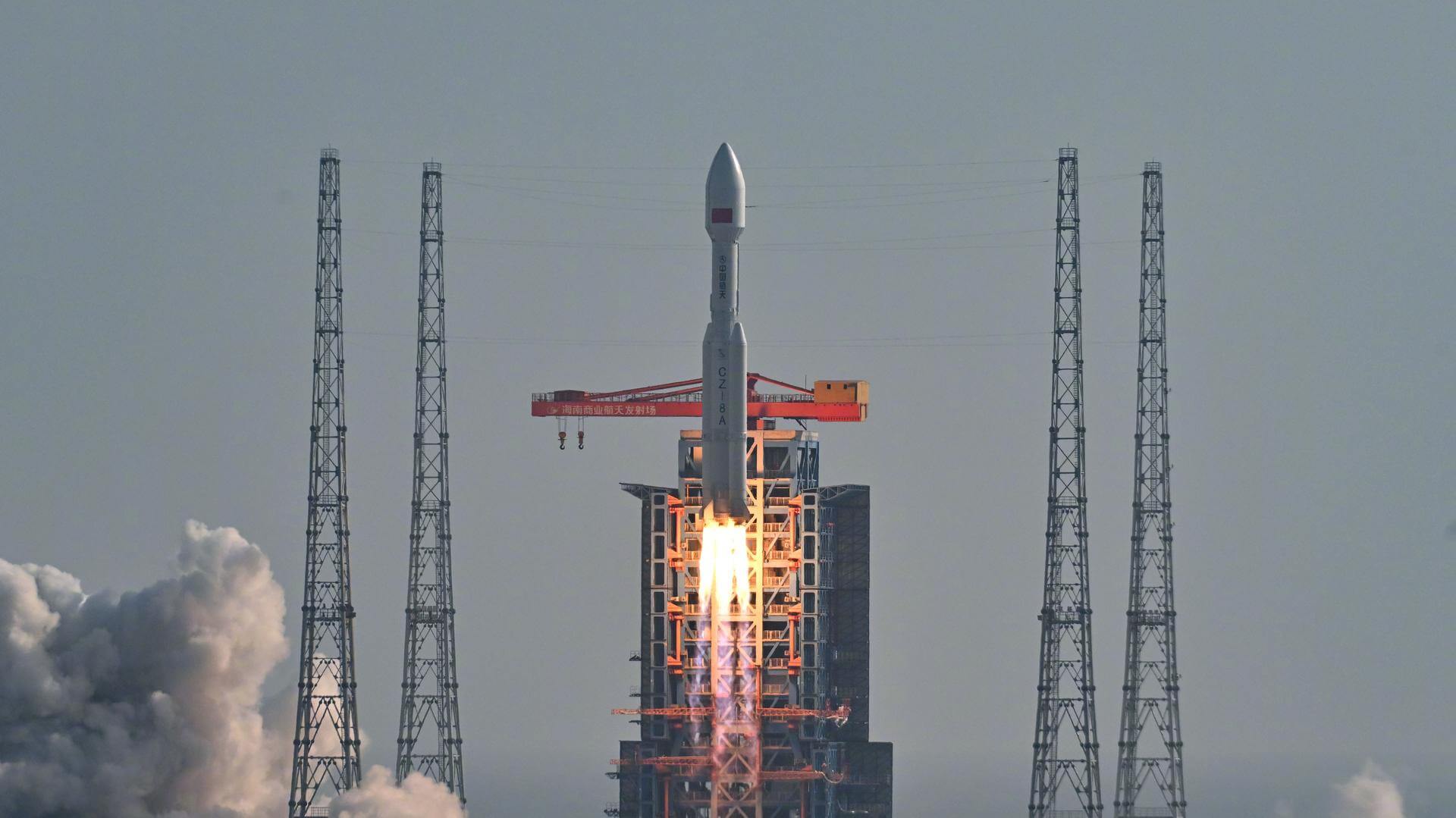
Long March 8A | SatNet LEO Group 23
China Aerospace Science and Technology Corporation | ChinaWenchang Space Launch Site, People's Republic of China
Aug. 4, 2026, 8:52 a.m.
Falcon 9 Block 5 | Starlink Group 17-52
SpaceX | United States of AmericaVandenberg SFB, CA, USA
Aug. 1, 2026, 3:08 a.m.