Upcoming Spaceflight Launches
Filter by Agency, Locations or Vehicles
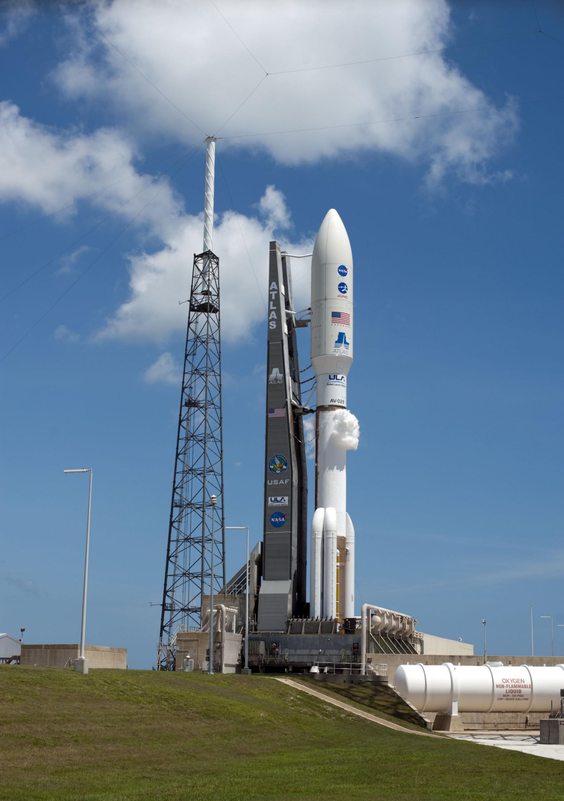
Show All LaunchesAtlas V 551 | Amazon Leo (LA-08)
United Launch Alliance | United States of AmericaCape Canaveral SFS, FL, USA
TBD December, 2026
Status: To Be Determined
Mission:
Amazon Leo, formerly known as Project Kuiper, is a mega constellation of satellites in Low Earth Orbit that will offer broadband internet access, this constellation will be managed by Kuiper Systems LLC, a subsidiary of Amazon. This constellation is planned to be composed of 3,276 satellites. The satellites are projected to be placed in 98 orbital planes in three orbital layers, one at 590 km, 610 km and 630 km altitude.
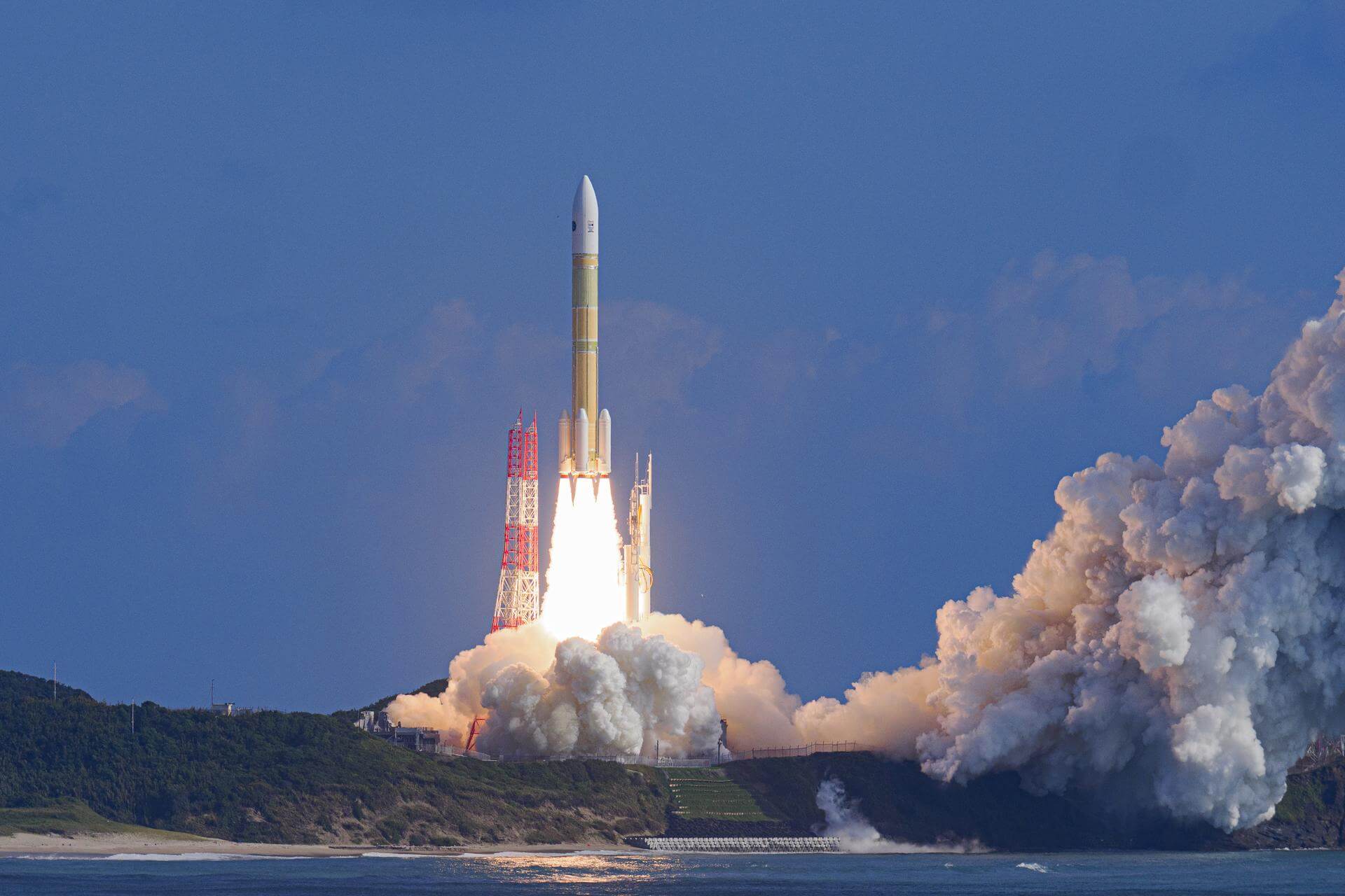
Low Earth OrbitH3-24 | HTV-X3
Mitsubishi Heavy Industries | JapanTanegashima Space Center, Japan
TBD December, 2026
H3-24 | HTV-X2
Mitsubishi Heavy Industries | JapanTanegashima Space Center, Japan
TBD December, 2026
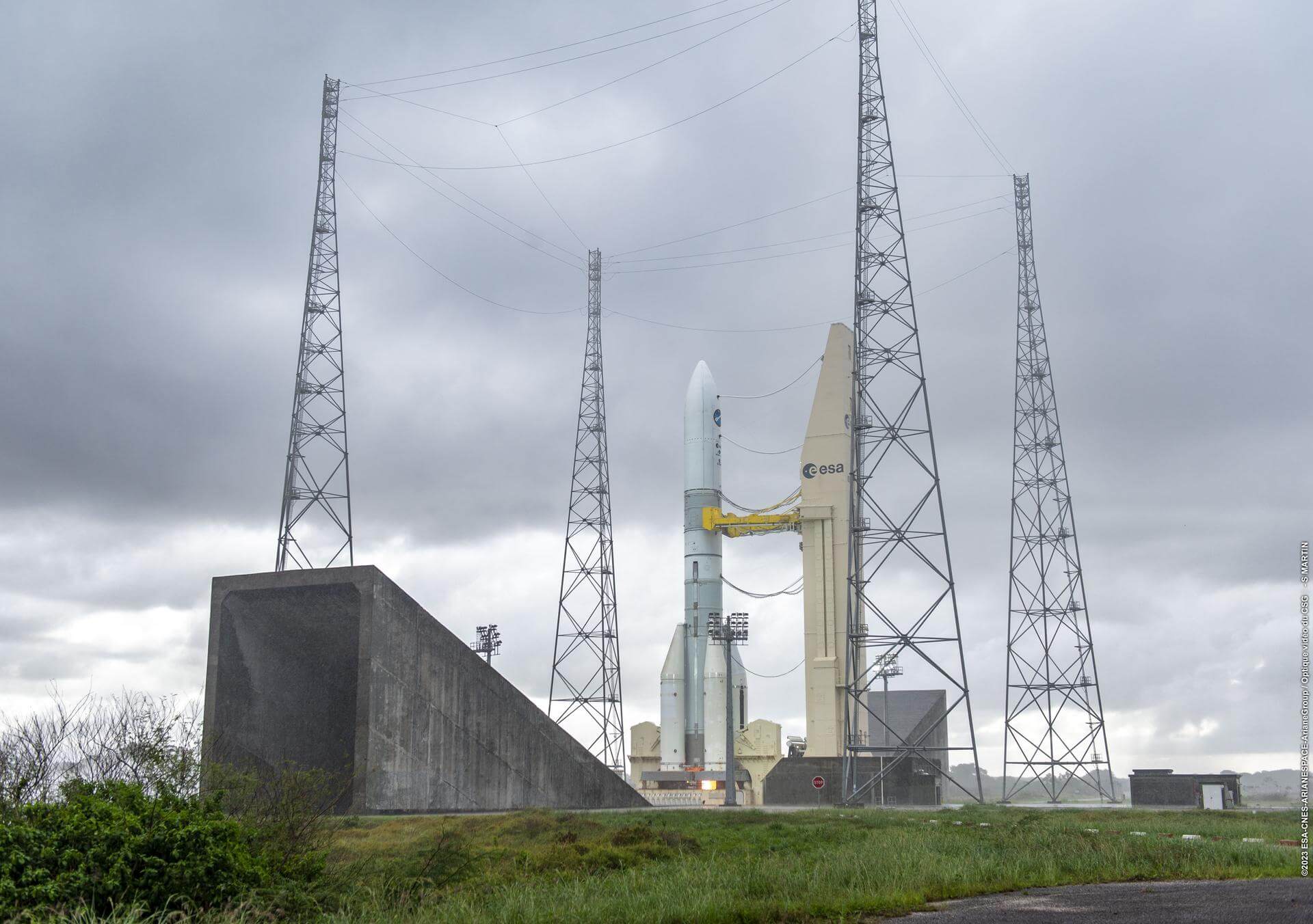
Ariane 62 | Galileo L15 (FOC FM28 & FM31)
ArianeGroup | FranceGuiana Space Centre, French Guiana
TBD December, 2026
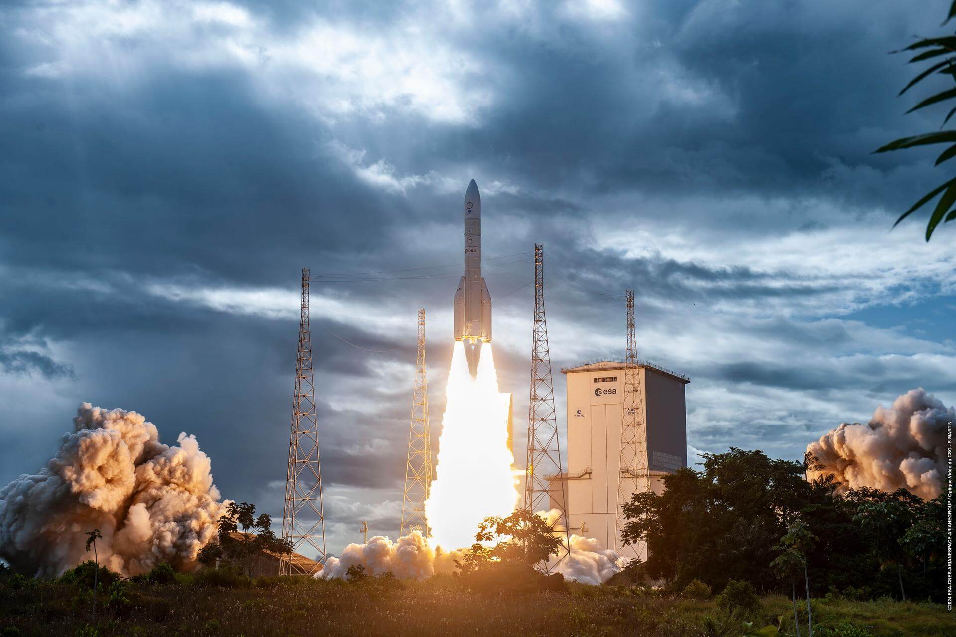
Ariane 64 | Optus-11
ArianeGroup | FranceGuiana Space Centre, French Guiana
TBD December, 2026
Status: To Be Determined
Mission:
Optus-11 is a Ku-band communications satellite with a coverage zone encompassing Australia and New Zealand. Optus-11 incorporates a number of advanced technologies, especially the latest developments in digital processing, plus active antennas enabling the creation of several thousand beams.
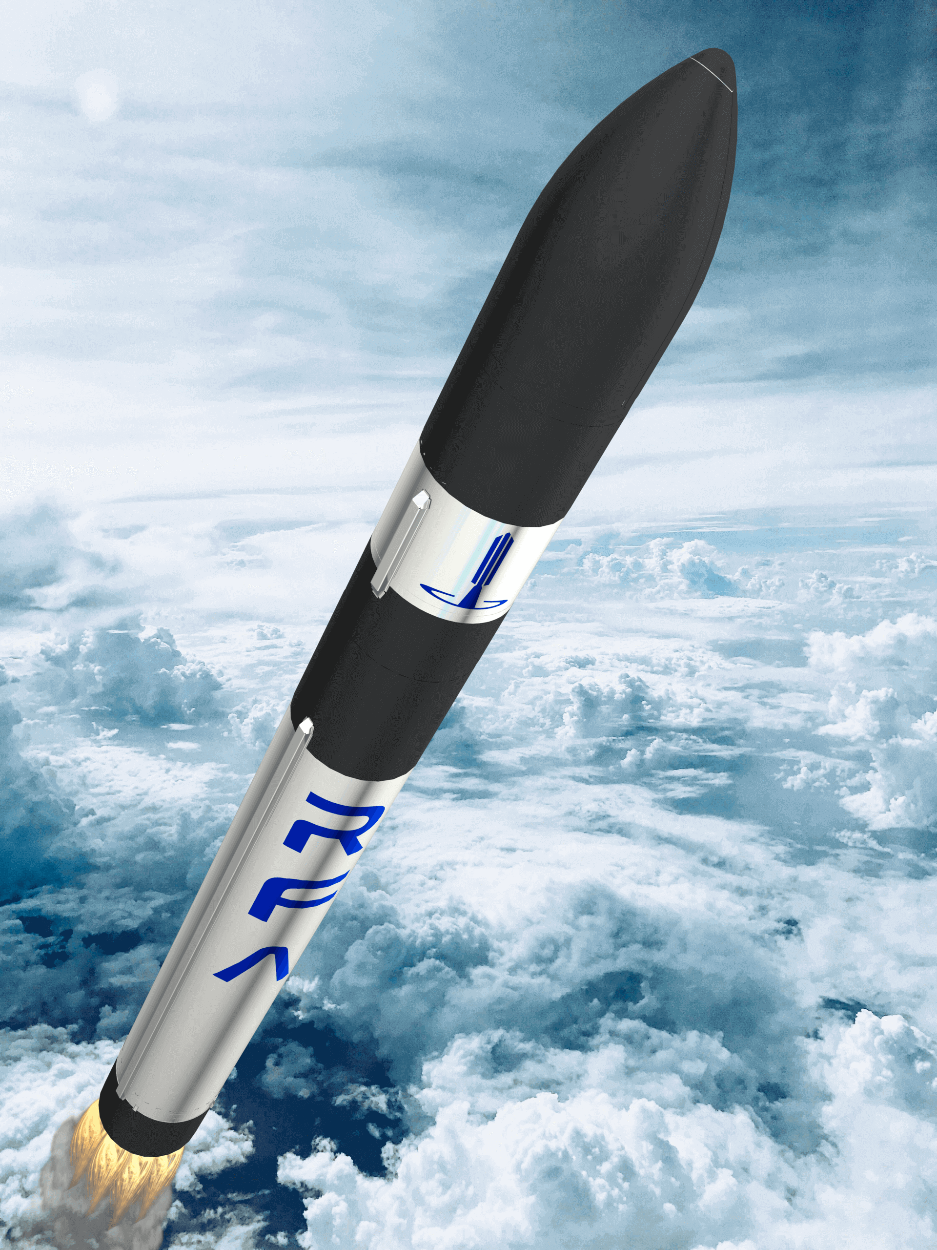
Geostationary Transfer OrbitRFA One | Maiden Flight
Rocket Factory Augsburg | GermanySaxaVord Spaceport
TBD December, 2026
Status: To Be Determined
Mission:
First flight of the RFA One launch vehicle. Will carry 7 satellites for various companies and organizations coordinated by the German Aerospace Center (DLR). * AllBertEinStein * ARTICA * Curium Two * ERMINAZ * PCIOD * Separation Ring Mission * SpaceDREAM
Sun-Synchronous OrbitH3-24 | Lunar Polar Exploration Mission (LUPEX)
Mitsubishi Heavy Industries | JapanTanegashima Space Center, Japan
TBD December, 2026
Status: To Be Determined
Mission:
The Lunar Polar Exploration mission (LUPEX) is a robotic lunar mission jointly developed by the Indian Space Research Organisation (ISRO) and Japan Aerospace Exploration Agency (JAXA), deploying a lunar rover and lander to explore the south pole region of the Moon. JAXA will provide the under-development H3 launch vehicle and the rover, while ISRO would be responsible for the lander.
Lunar OrbitAntares 330 | Cygnus CRS-2 NG-25
Northrop Grumman Space Systems | United States of AmericaWallops Flight Facility, Virginia, USA
TBD December, 2026
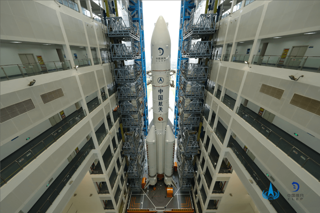
Long March 5 | Chang'e 7
China Aerospace Science and Technology Corporation | ChinaWenchang Space Launch Site, People's Republic of China
TBD December, 2026
Status: To Be Determined
Mission:
Chang'e 7/CE-7 is scheduled to launch in 2026, including an orbiter, a lander, a mini-hopping probe, and a rover. The mission will land in the South Pole regions of the Moon to study lunar surface environment around the South Pole, especially in looking for water ice in lunar soil.
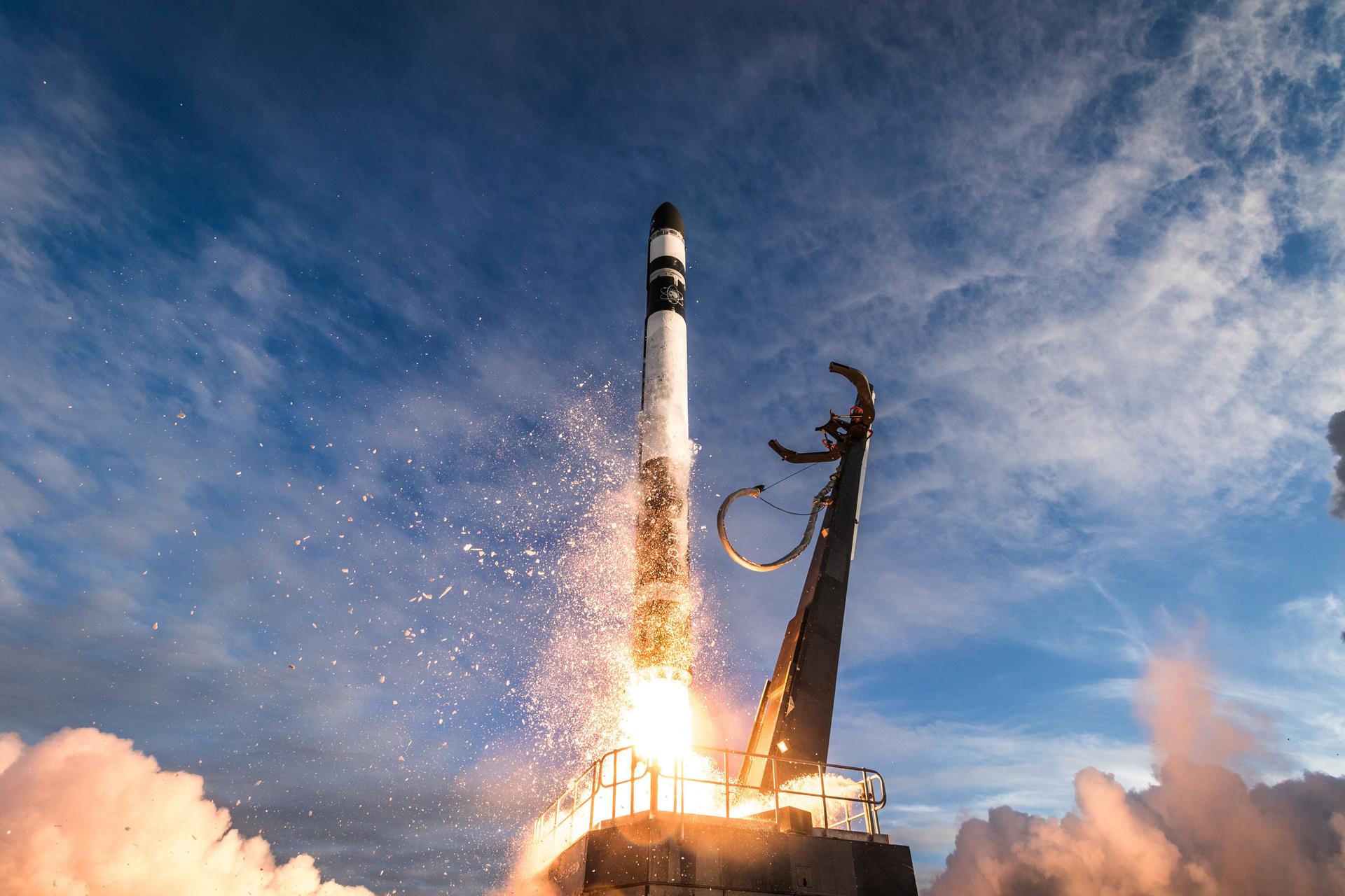
Lunar OrbitElectron | StriX Launch 12
Rocket Lab | United States of AmericaRocket Lab Launch Complex 1, Mahia Peninsula, New Zealand
TBD December, 2026
Long March 2C
AlSat 3B
Launch Area 94 (SLS-2 / 603) - Jiuquan Satellite Launch Center, People's Republic of ChinaEarth observation satellite built by China's CAST for the Algerian Space Agency.
Falcon 9
Starlink Group 6-101
Space Launch Complex 40 - Cape Canaveral SFS, FL, USAA batch of 29 satellites for the Starlink mega-constellation - SpaceX's project for space-based Internet communication system.
Electron
Bridging The Swarm (NeonSat-1A)
Rocket Lab Launch Complex 1A - Rocket Lab Launch Complex 1, Mahia Peninsula, New ZealandThe NeonSat-1A, carrying a high-resolution optical camera, is designed to test the constellation capabilities of the South Korean government's Earth …
Falcon 9
Starlink Group 17-19
Space Launch Complex 4E - Vandenberg SFB, CA, USAA batch of 25 satellites for the Starlink mega-constellation - SpaceX's project for space-based Internet communication system.
Falcon 9
GPS III SV09
Space Launch Complex 40 - Cape Canaveral SFS, FL, USANinth of ten GPS III missions.
Falcon 9
Starlink Group 17-20
Space Launch Complex 4E - Vandenberg SFB, CA, USAA batch of 25 satellites for the Starlink mega-constellation - SpaceX's project for space-based Internet communication system.
New Shepard
NS-38
West Texas Suborbital Launch Site/ Corn Ranch - Corn Ranch, Van Horn, TX, USANS-38 is the 17th crewed flight for the New Shepard program and the 38th in the New Shepard program's history.
Electron
The Cosmos Will See You Now (Open Cosmos Constellation Launch 1)
Rocket Lab Launch Complex 1A - Rocket Lab Launch Complex 1, Mahia Peninsula, New ZealandFirst 2 satellites (named MR-1 and MR-2) of UK-based Open Cosmos' secure LEO broadband constellation designed to provide independent and resilient co…
Falcon 9
Starlink Group 17-30
Space Launch Complex 4E - Vandenberg SFB, CA, USAA batch of 25 satellites for the Starlink mega-constellation - SpaceX's project for space-based Internet communication system.
Long March 12
SatNet LEO Group 19
Commercial LC-2 - Wenchang Space Launch Site, People's Republic of ChinaA batch of 9 Low Earth Orbit communication satellites for the Chinese state owned SatNet constellation operated by the China Satellite Network Group.…
