Delta II
In-activeUnited Launch Alliance (ULA)
Nov. 4, 1995
Description
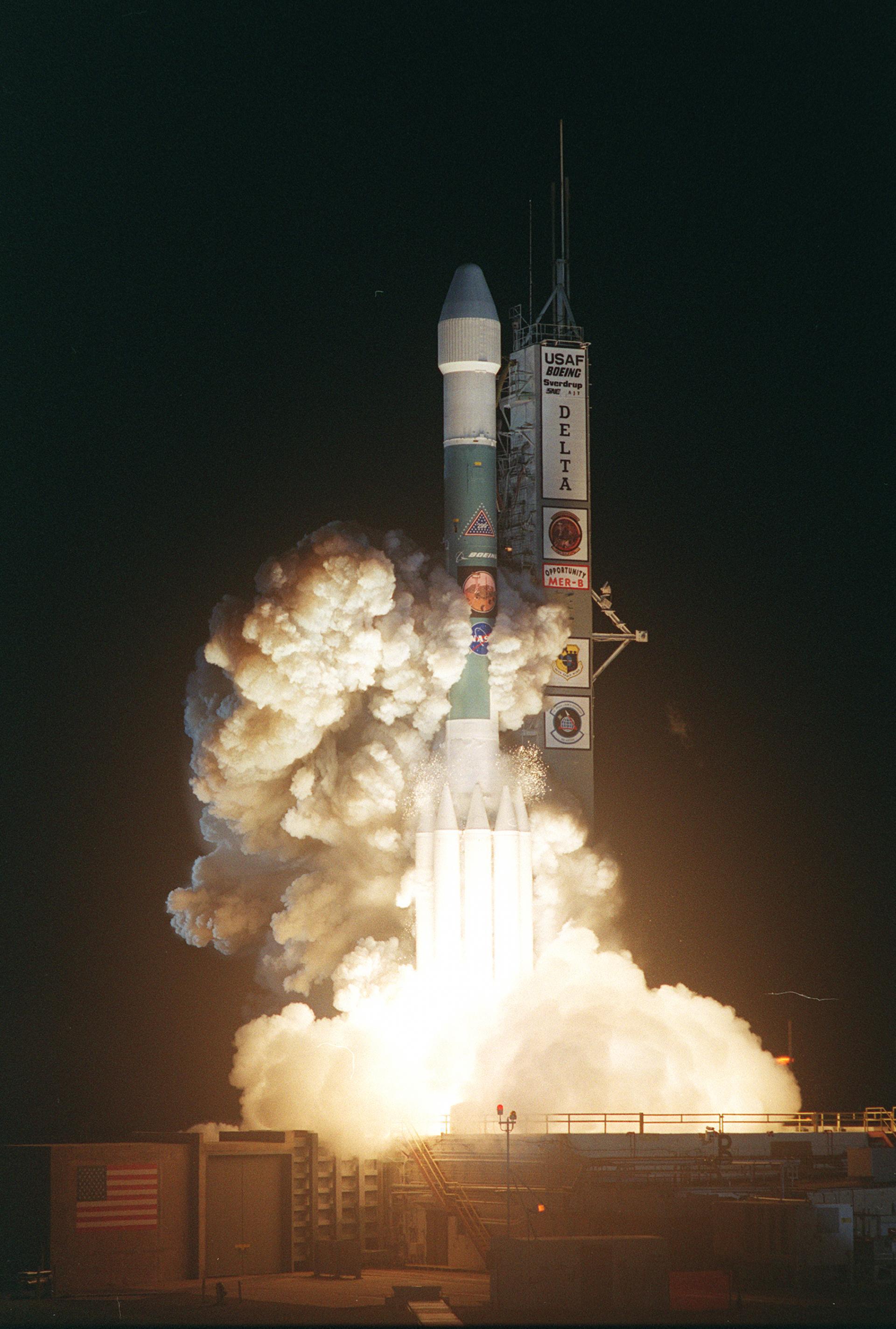
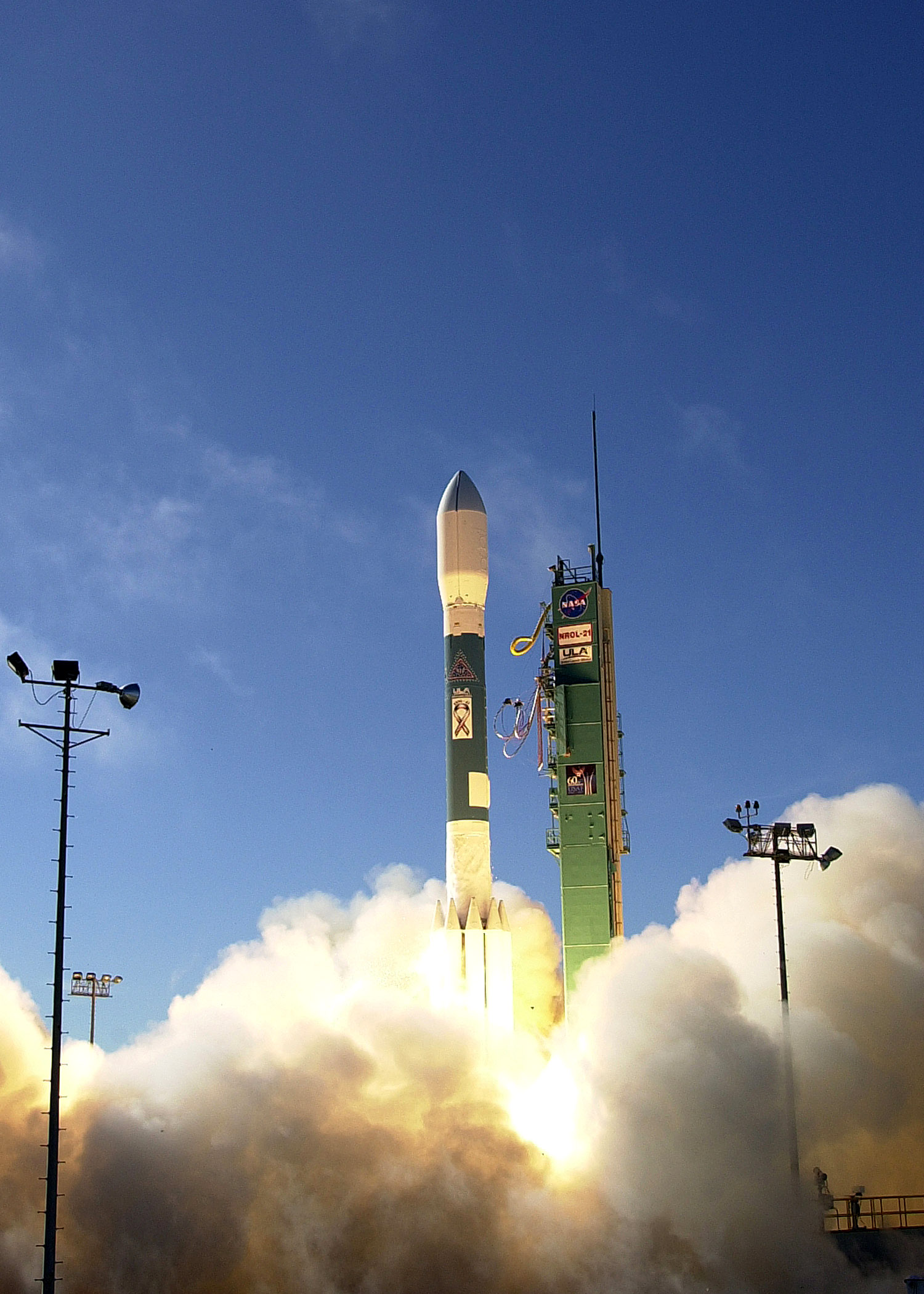
Delta II is an American space launch system developed by McDonnell Douglas, now part of the Delta rocket family operated by United Launch Alliance. With more than 150 missions and a nearly perfect track record, Delta II has established itself as one of the most successful orbital launch systems.
Specifications
-
Stages
2 -
Length
38.7 m -
Diameter
2.4 m -
Fairing Diameter
3.0 m -
Launch Mass
251.0 T -
Thrust
―
Family
-
Name
Delta II -
Family
― -
Variant
7920-10 -
Alias
― -
Full Name
Delta II 7920-10
Payload Capacity
-
Launch Cost
$51000000 -
Low Earth Orbit
5959.0 kg -
Geostationary Transfer
Orbit
1828.0 kg -
Direct Geostationary
― -
Sun-Synchronous Capacity
3017.0 kg
United Launch Alliance
Commercial
Interim CEO: John Elbon
ULA 2006United Launch Alliance (ULA) is a joint venture of Lockheed Martin Space Systems and Boeing Defense, Space & Security. ULA was formed in December 2006 by combining the teams at these companies which provide spacecraft launch services to the government of the United States. ULA launches from both coasts of the US. They launch their Atlas V vehicle from LC-41 in Cape Canaveral and LC-3E at Vandeberg. Their Delta IV launches from LC-37 at Cape Canaveral and LC-6 at Vandenberg.
Delta II 7920-10 | JPSS 1 (Joint Polar Satellite System spacecraft No. 1)
United Launch Alliance | United States of AmericaVandenberg SFB, CA, USA
Nov. 18, 2017, 9:47 a.m.
Status: Launch Successful
Mission:
From a 512-mile orbit, tilted 98.7 degrees to the equator and traveling pole-to-pole, the craft will provide imagery, atmospheric temperature and humidity profiles, and land and ocean surface temperature observations, all of which are key ingredients for weather forecasting. In addition, the satellite will measure ozone levels and reflected solar radiation from the planet.JPSS 1 will survey the entire globe twice per day with five sensor packages.The satellite will replace the existing Suomi NPP spacecraft that launched in 2011 for a five-year mission as a gapfiller between NOAA’s legacy weather satellite constellation and the new JPSS generation.
Sun-Synchronous OrbitDelta II 7920-10 | WorldView-1
United Launch Alliance | United States of AmericaVandenberg SFB, CA, USA
Sept. 18, 2007, 6:35 p.m.
Delta II 7920-10 | NROL-21
United Launch Alliance | United States of AmericaVandenberg SFB, CA, USA
Dec. 14, 2006, 9 p.m.
Delta II | Jason
United Launch Alliance | United States of AmericaVandenberg SFB, CA, USA
Dec. 7, 2001, 3:07 p.m.
Status: Launch Successful
Mission:
Jason-1 is the first follow-on to the highly successful TOPEX/Poseidon mission that measured ocean surface topography to an accuracy of 4.2 cm, enabled scientists to forecast the 1997-1998 El Niño, and improved understanding of ocean circulation and its effect of global climate.
High Earth OrbitDelta II | Landsat 7
United Launch Alliance | United States of AmericaVandenberg SFB, CA, USA
April 15, 1999, 6:32 p.m.
Status: Launch Successful
Mission:
Landsat 7 continued the long-term Earth observation Landsat program begun in 1972. Landsat 7 was a joint project between NASA, NOAA, and the US Geological Survey to obtain continuous high-resolution imagary of the earth's surface for environmental monitoring, disaster assessment, land use and regional planning, cartography, range management, oil and mineral exploration.
Low Earth OrbitDelta II | ARGOS
United Launch Alliance | United States of AmericaVandenberg SFB, CA, USA
Feb. 23, 1999, 10:29 a.m.
Status: Launch Successful
Mission:
ARGOS (Advanced Research & Global Observation Satellite) is a testbed and demonstration program for advanced remote sensing technologies for the US Air Force's Space Test Program (STP). ARGOS's primary objective is to fly and operate advanced payloads that include two technology demonstrations and seven experiment payloads for global and celestial observation. ARGOS also has a goal of three years of on orbit operations to demonstrate and collect science data for the Earth's global environment and top priority military space programs.
Low Earth OrbitDelta II | MSX
United Launch Alliance | United States of AmericaVandenberg SFB, CA, USA
April 24, 1996, 12:27 p.m.
Status: Launch Successful
Mission:
MSX (Midcourse Space Experiment) demonstrated different multispectral imaging technologies to identify and track ballistic missiles during flight by observing rocket launches and orbital debris. Additionally it measured the composition and dynamics of the Earth's atmosphere by observing ozone, chloroflourocarbons, carbon dioxide and methane.
Low Earth OrbitDelta II | Rossi X-ray Timing Explorer
United Launch Alliance | United States of AmericaCape Canaveral SFS, FL, USA
Dec. 30, 1995, 1:48 p.m.
Status: Launch Successful
Mission:
The XTE (X-Ray Timing Explorer), renamed on orbit RXTE (Rossi X-Ray Timing Explorer) mission has the primary objective to study the temporal and broad-band spectral phenomena associated with stellar and galactic systems containing compact objects in the energy range 2--200 keV and in time scales from microseconds to years.
Low Earth OrbitDelta II | Radarsat
United Launch Alliance | United States of AmericaVandenberg SFB, CA, USA
Nov. 4, 1995, 2:22 p.m.
Falcon 9
Starlink Group 6-104
Space Launch Complex 40 - Cape Canaveral SFS, FL, USAA batch of 28 satellites for the Starlink mega-constellation - SpaceX's project for space-based Internet communication system.
Falcon 9
Starlink Group 17-25
Space Launch Complex 4E - Vandenberg SFB, CA, USAA batch of 25 satellites for the Starlink mega-constellation - SpaceX's project for space-based Internet communication system.
Falcon 9
Starlink Group 10-36
Space Launch Complex 40 - Cape Canaveral SFS, FL, USAA batch of 29 satellites for the Starlink mega-constellation - SpaceX's project for space-based Internet communication system. First Starlink laun…
Falcon 9
Starlink Group 6-103
Space Launch Complex 40 - Cape Canaveral SFS, FL, USAA batch of 29 satellites for the Starlink mega-constellation - SpaceX's project for space-based Internet communication system.
Falcon 9
Starlink Group 17-13
Space Launch Complex 4E - Vandenberg SFB, CA, USAA batch of 24 satellites for the Starlink mega-constellation - SpaceX's project for space-based Internet communication system.


